Annaheim, Saskatchewan
| Annaheim | |
|---|---|
| Village | |
| Village of Annaheim | |
 Location of Annaheim in Saskatchewan  Annaheim, Saskatchewan (Canada) | |
| Coordinates: 52°19′06″N 104°49′15″W / 52.31835°N 104.82086°W | |
| Country | Canada |
| Province | Saskatchewan |
| Region | Central Saskatchewan |
| Census division | 15 |
| Rural Municipality | St. Peter |
| Government | |
| • Type | Annaheim Village Council |
| • Mayor | Mike Bold |
| Area | |
| • Land | 0.78 km2 (0.30 sq mi) |
| Population (2011) | |
| • Total | 219 |
| • Metro density | 280.4/km2 (726/sq mi) |
| Time zone | CST |
| Postal code | S0K 0G0 |
| Area code(s) | 306 |
Annaheim (2011 Population 219) is a village within the Rural Municipality of St. Peter No. 369, Saskatchewan, Canada. The village is located about 125 km east of the city of Saskatoon, at the junction of provincial Highway 756 and Highway 779. Annaheim is the seat of the Rural Municipality of St. Peter's No. 369. It is also home to the headquarters and main offices of Doepker Industries, a semi trailer and heavy machinery manufacturer, which is also the community's main employer.
Annaheim means Anna's home (Anna's heim) in German. The village is unique in the sense that there are no major provincial highways or railroad tracks passing through it, as well as no grain elevators to be found.
Demographics
| Canada census – Annaheim, Saskatchewan community profile | |||
|---|---|---|---|
| 2011 | 2006 | ||
| Population: | 219 (0.5% from 2006) | 218 (+0.5% from 2001) | |
| Land area: | 0.78 km2 (0.30 sq mi) | 0.78 km2 (0.30 sq mi) | |
| Population density: | 280.4/km2 (726/sq mi) | 279.2/km2 (723/sq mi) | |
| Median age: | 36.9 (M: 36.2, F: 39.8) | 38.7 (M: 39.8, F: 35.5) | |
| Total private dwellings: | 93 | 93 | |
| Median household income: | $NA | $Not Available | |
| References: 2011[1] 2006[2] earlier[3] | |||
Education
The school in Annaheim contains approximately 100 students, from Kindergarten to grade 12. The village also boasts a Roman Catholic church (St. Ann's Parish), a community hall, skating rink, credit union, post office, New Horizons recreation and senior centre (including a bowling alley) and a bar. There is also a volunteer fire department.
See also
References
- ↑ "2011 Community Profiles". Canada 2011 Census. Statistics Canada. July 5, 2013. Retrieved 2014-06-24.
- ↑ "2006 Community Profiles". Canada 2006 Census. Statistics Canada. March 30, 2011. Retrieved 2009-02-24.
- ↑ "2001 Community Profiles". Canada 2001 Census. Statistics Canada. February 17, 2012.
External links
Places adjacent to Annaheim, Saskatchewan | ||||||||||
|---|---|---|---|---|---|---|---|---|---|---|
| ||||||||||
| Subdivisions | |
|---|---|
| Communities | |
| Cities | |
| Topics |
|
| |
| Cities | 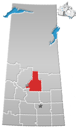 | |
|---|---|---|
| Towns | ||
| Villages | ||
| Resort villages | ||
| Rural municipalities | ||
| Unincorporated communities | ||
Coordinates: 52°19′06″N 104°49′15″W / 52.31835°N 104.82086°W