Al Ghaydah
| Al Ghaydah | |
|---|---|
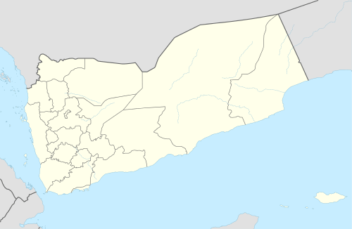 Al Ghaydah Location in Yemen | |
| Coordinates: 16°12′38″N 52°10′16″E / 16.21056°N 52.17111°ECoordinates: 16°12′38″N 52°10′16″E / 16.21056°N 52.17111°E | |
| Country |
|
| Governorate | Al Mahrah |
| Population | |
| • Total | 10,948 |
| Time zone | UTC+3 (Yemen Standard Time) |
Al Ghaydah (Arabic: الغيظة) is the capital city of Al Mahrah Governorate in south-eastern Yemen.
Transport
The city is served by Al Ghaydah Airport.
Climate
Al Ghaydah has a hot desert climate (Köppen climate classification: BWh)
| Climate data for Al Ghaydah | |||||||||||||
|---|---|---|---|---|---|---|---|---|---|---|---|---|---|
| Month | Jan | Feb | Mar | Apr | May | Jun | Jul | Aug | Sep | Oct | Nov | Dec | Year |
| Average high °C (°F) | 27.8 (82) |
28.2 (82.8) |
30.6 (87.1) |
32.6 (90.7) |
34.7 (94.5) |
35.1 (95.2) |
32.7 (90.9) |
32.3 (90.1) |
32.6 (90.7) |
31.9 (89.4) |
30.5 (86.9) |
28.5 (83.3) |
31.5 (88.6) |
| Daily mean °C (°F) | 22.7 (72.9) |
23.4 (74.1) |
25.6 (78.1) |
27.7 (81.9) |
30.1 (86.2) |
30.7 (87.3) |
28.9 (84) |
28.3 (82.9) |
28.4 (83.1) |
26.8 (80.2) |
25.1 (77.2) |
23.6 (74.5) |
26.8 (80.2) |
| Average low °C (°F) | 17.6 (63.7) |
18.7 (65.7) |
20.7 (69.3) |
22.9 (73.2) |
25.5 (77.9) |
26.4 (79.5) |
25.1 (77.2) |
24.4 (75.9) |
24.3 (75.7) |
21.7 (71.1) |
19.8 (67.6) |
18.7 (65.7) |
22.2 (71.9) |
| Average precipitation mm (inches) | 8 (0.31) |
4 (0.16) |
6 (0.24) |
9 (0.35) |
1 (0.04) |
1 (0.04) |
3 (0.12) |
3 (0.12) |
0 (0) |
2 (0.08) |
7 (0.28) |
7 (0.28) |
51 (2.02) |
| Source: Climate-Data.org[1] | |||||||||||||
References
- ↑ "Climate: Al Ghaydah". Climate-Data.org. Retrieved October 30, 2017.
| 1,000,000 and more | |
|---|---|
| 100,000-999,999 | |
| 10,000-99,999 | |
| <9,999 | |
1Main Island become under control by United Arab Emirates since April 30, 2018 | |
This article is issued from
Wikipedia.
The text is licensed under Creative Commons - Attribution - Sharealike.
Additional terms may apply for the media files.