59th parallel south

59°
59th parallel south
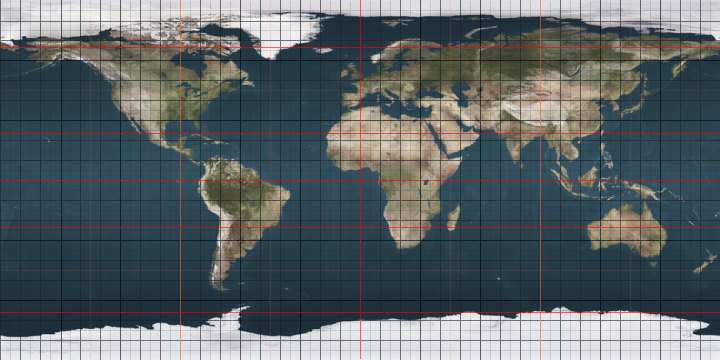
The 59th parallel south is a circle of latitude that is 59 degrees south of the Earth's equatorial plane. The only landmass on this parallel is Bristol Island.[lower-alpha 1]
At this latitude the sun is visible for 18 hours, 30 minutes during the December solstice and 6 hours, 10 minutes during the June solstice.[1]
Around the world
Starting at the Prime Meridian and heading eastwards, the parallel 59° south passes through:
Co-ordinates Country, territory or sea Notes 59°0′S 0°0′E / 59.000°S 0.000°E Atlantic Ocean 59°0′S 20°0′E / 59.000°S 20.000°E Indian Ocean 59°0′S 147°0′E / 59.000°S 147.000°E Pacific Ocean 59°0′S 67°16′W / 59.000°S 67.267°W Atlantic Ocean 59°0′S 26°37′W / 59.000°S 26.617°W 
Bristol Island (claimed by 
59°0′S 26°35′W / 59.000°S 26.583°W Atlantic Ocean
See also
 |
Notes
- ↑ The parallel appears to cut through the boundary of the island as shown on Google Earth.
References
This article is issued from
Wikipedia.
The text is licensed under Creative Commons - Attribution - Sharealike.
Additional terms may apply for the media files.