2006 Kamchatka earthquakes
 | |
| UTC time | ?? |
|---|---|
| ISC event | |
| USGS-ANSS | |
| Date * | April 21, 2006 |
| Origin time * | 23:25:02 [1] |
| Local date | |
| Local time | |
| Magnitude | 7.6 Mw [1] |
| Depth | 22.4 km (14 mi) [1] |
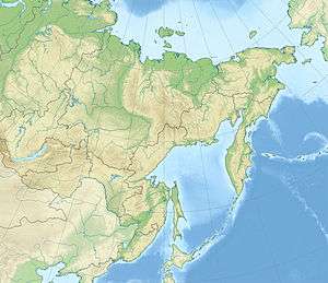
| Epicenter | 60°55′N 167°07′E / 60.91°N 167.12°ECoordinates: 60°55′N 167°07′E / 60.91°N 167.12°E [1] |
| Type | Dip-slip [2] |
| Total damage | $55 million [2] |
| Max. intensity | X (Extreme) [3] |
| Aftershocks |
6.6 Mw Apr 29 at 16:58 [4] 6.6 Mw May 22 at 11:12 [5] |
| Casualties | 40 injured [2] |
| * Deprecated | See documentation. |
The 2006 Kamchatka earthquakes began on April 21, 2006 at 12:25 PM local time with the occurrence of a very large reverse fault event. This shock had a moment magnitude of 7.6 and a maximum Mercalli intensity of X (Extreme). The hypocenter was located near the coast of Koryak Autonomous Okrug at an estimated depth of 22 km, as reported by the International Seismological Centre. This event caused damage in three villages and was followed by a number of large aftershocks. Several M6.6 earthquakes struck on April 29 at 16:58 UTC and again on May 22 at 11:12 UTC. These earthquakes caused no deaths; however, 40 people were reported injured.
See also
References
- 1 2 3 4 ISC (2015), ISC-GEM Global Instrumental Earthquake Catalogue (1900–2009), Version 2.0, International Seismological Centre
- 1 2 3 USGS (September 4, 2009), PAGER-CAT Earthquake Catalog, Version 2008_06.1, United States Geological Survey
- ↑ USGS (December 1, 2008), EXPO-CAT Earthquake Catalog, Version 2007-12, United States Geological Survey
- ↑ USGS. "M6.6 - near the east coast of Koryakskiy Avtonomnyy Okrug, Russia". United States Geological Survey.
- ↑ USGS. "M6.6 - near the east coast of Koryakskiy Avtonomnyy Okrug, Russia". United States Geological Survey.
External links
- The earthquakes on Kamchatka РИА "Новости" (in Russian)
- M7.6 - near the east coast of Koryakskiy Autonomnyy Okrug, Russia – United States Geological Survey
- The International Seismological Centre has a bibliography and/or authoritative data for this event.
This article is issued from
Wikipedia.
The text is licensed under Creative Commons - Attribution - Sharealike.
Additional terms may apply for the media files.