1290 Chihli earthquake
 | |
| Local date | September 27, 1290 |
|---|---|
| Magnitude | 6.8 Ms |
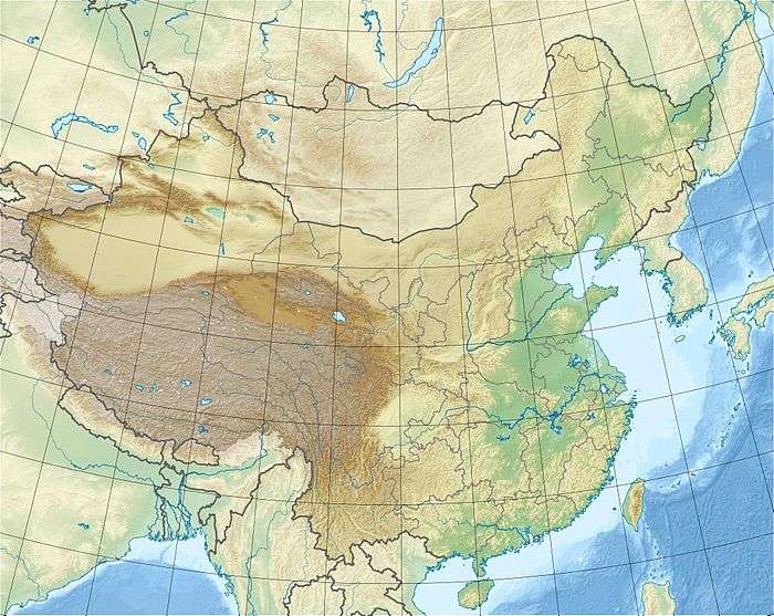
| Epicenter | 41°30′N 119°18′E / 41.5°N 119.3°ECoordinates: 41°30′N 119°18′E / 41.5°N 119.3°E[1] |
| Areas affected | Yuan dynasty |
| Total damage | Severe[1] |
| Max. intensity | IX (Violent)[1] |
| Casualties | 7,270–100,000[1] |
The 1290 Chihli earthquake occurred on 27 September with an epicenter near Ningcheng, Zhongshu Sheng (Zhili or Chihli), Yuan Empire. This region is today administered as part of Inner Mongolia, China. The earthquake had an estimated surface wave magnitude of 6.8 and a maximum felt intensity of IX (Violent) on the Mercalli intensity scale. One estimate places the death toll at 7,270, while another has it at 100,000.
Damage
The earthquake destroyed 480 storehouses and countless houses in Ningcheng. Changping, Hejian, Renqiu, Xiongxian, Baoding, Yixian and Baixiang County were also affected.[1] It severely damaged the Fengguo Temple in Yixian.[2]
See also
References
- 1 2 3 4 5 NGDC. "Comments for the Significant Earthquake". Retrieved 29 October 2010.
- ↑ Steinhardt, N.S. (1997). Liao Architecture. University of Hawaii Press. p. 88. ISBN 978-0-8248-1843-2.
This article is issued from
Wikipedia.
The text is licensed under Creative Commons - Attribution - Sharealike.
Additional terms may apply for the media files.