2003 Bachu earthquake
 | |
| UTC time | 2003-02-24 02:03:41 |
|---|---|
| ISC event | 6593974 |
| USGS-ANSS | ComCat |
| Local date | 24 February 2003 |
| Local time | 10:03 |
| Magnitude | 6.3 Mw |
| Depth | 11 kilometres (7 mi) |
| Epicenter | 39°36′36″N 77°13′48″E / 39.610°N 77.230°E[1] |
| Areas affected |
China Kyrgyzstan Tajikistan |
| Casualties | 261 dead |
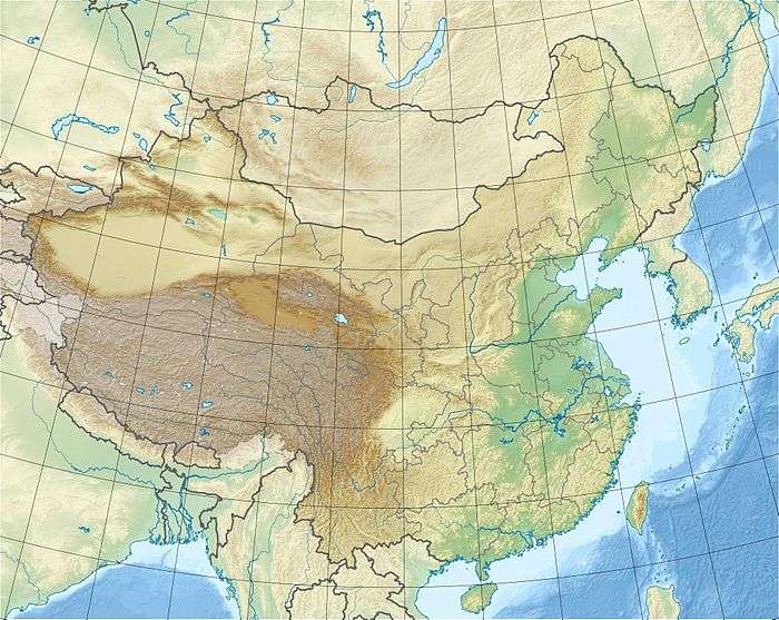
The 2003 Bachu earthquake occurred on 24 February at 10:03 local time in the Xinjiang Autonomous Region in northwest China. The epicentre was located near to the town of Jiashi and Bachu County, approximately 105 km east of Kashgar and 310 km west of Aksu. At least 261 people died as a result of the earthquake, and more than 4,000 were injured. Most of the casualties occurred in Bachu county. Almost 10,000 homes were levelled by the earthquake. A further 5 people were killed in powerful aftershocks which occurred on 26 February 2003.
Tectonic setting
Seismic activity is common in the Bachu and the surrounding area. It occurs as a result of movement on fault systems that bound the Tien Shan mountain belt. The Tien Shan is actively evolving, as a result of far-field stresses associated with the collision of India and Eurasia. According to the moment tensor solution, the earthquake occurred on a thrust fault that dips 6° to the north, and strikes approximately east-west. Such a gentle dip angle implies that the earthquake may have occurred on or just above the basal detachment of the neighbouring fold-thrust belts. There is no evidence of oblique-slip or strike-slip movement.
See also
References
- ↑ ANSS. "Bachu 2003: M 6.3 - southern Xinjiang, China". Comprehensive Catalog. U.S. Geological Survey. Retrieved 2018-06-07
External links
- BBC News – "In Pictures: China earthquake"
- BBC News – "China aftershocks claim more lives"
- BBC News – "China quake prisoners escape injury"
- M 6.3 – southern Xinjiang, China – United States Geological Survey
- The International Seismological Centre has a bibliography and/or authoritative data for this event.