1985 Wuqia earthquake
 | |
| UTC time | ?? |
|---|---|
| ISC event | |
| USGS-ANSS | |
| Date * | 23 August 1985 |
| Local date | |
| Local time | |
| Magnitude | Ms 7.4 |
| Depth | 7 km |
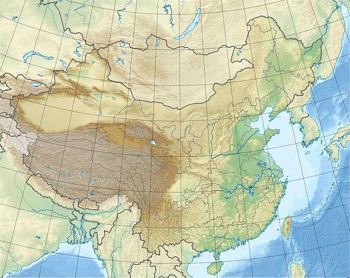
| Epicenter | 39°24′47″N 75°13′26″E / 39.413°N 75.224°E |
| Areas affected | China |
| Casualties | 64 |
| * Deprecated | See documentation. |
The 1985 Wuqia earthquake occurred on August 23, 1985, at 20:41 local time (12:41 UTC) near the border of Wuqia (乌恰) (also Ulugqat or Uluqat) County and Shufu (疏附) County, Xinjiang, China. It had a magnitude of Ms 7.4 and caused 71 deaths, 162 injuries, and left 15,000 homeless, as well as destroying 85% of buildings and highways.[1] The source of this earthquake is the Kazkeaerte Fault (卡兹克阿尔特断裂). The earthquake could be felt throughout much of the Fergana Basin, USSR, as well as in Pakistan.[2][1]
The slipping of the earth during this earthquake caused a deformation zone along the Kezilesu River valley stretching 15 kilometres (9 1⁄3 miles) long and 800 metres (1⁄2 mile) wide. The zone is made up of smaller faults, fissures, and pressure ridges.[3]
References
- 1 2 Significant Earthquakes of the World, United States Geological Survey, archived from the original on 2012-10-14
- ↑ Wang, Xiaorong. "1985 Xinjiang Autonomous Region Wuqia Earthquake."National Earthquake Science. China Earthquakes Network Center, n.d. Web
- ↑ Feng, Xian-yue (2008). "Deformation Zone of the Wuqia Earthquake in 1985". Seismology and Geology.
External links
- The International Seismological Centre has a bibliography and/or authoritative data for this event.