Totternhoe
Totternhoe is een civil parish in het bestuurlijke gebied Central Bedfordshire, in het Engelse graafschap Bedfordshire met 1172 inwoners.
| Zie de categorie Totternhoe van Wikimedia Commons voor mediabestanden over dit onderwerp. |
Geplaatst op: 31-7-2010 |
Dit artikel is een beginnetje over landen & volken. U wordt uitgenodigd om op bewerken te klikken om uw kennis aan dit artikel toe te voegen. |
| Civil parish in Engeland | |||
 | |||
| Situering | |||
| Regio | East of England | ||
| Graafschap | Bedfordshire | ||
| District | Central Bedfordshire | ||
| Coördinaten | 51° 53' NB, 0° 34' WL | ||
| Algemeen | |||
| Oppervlakte | 7,4536 km² | ||
| Inwoners (2011) | 1172 (157 inw./km²) | ||
| Overig | |||
| Postcode(s) | LU6 | ||
| Netnummer(s) | 01582 (Church End), 01525 (Middle and Lower Ends) | ||
| Grid code | SP985215 | ||
| Post town | DUNSTABLE | ||
| ONS-code | E04011997 | ||
| Foto's | |||
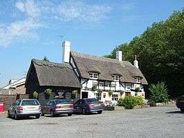 | |||
| Pub The Cross Keys | |||
| |||
This article is issued from
Wikipedia.
The text is licensed under Creative
Commons - Attribution - Sharealike.
Additional terms may apply for the media files.