Montelupo Fiorentino
Montelupo Fiorentino is een gemeente in de Italiaanse provincie Florence (regio Toscane) en telt 12.079 inwoners (31-12-2004). De oppervlakte bedraagt 24,6 km2, de bevolkingsdichtheid is 491 inwoners per km2.
Gemeente in Italië | |||
 | |||
| Situering | |||
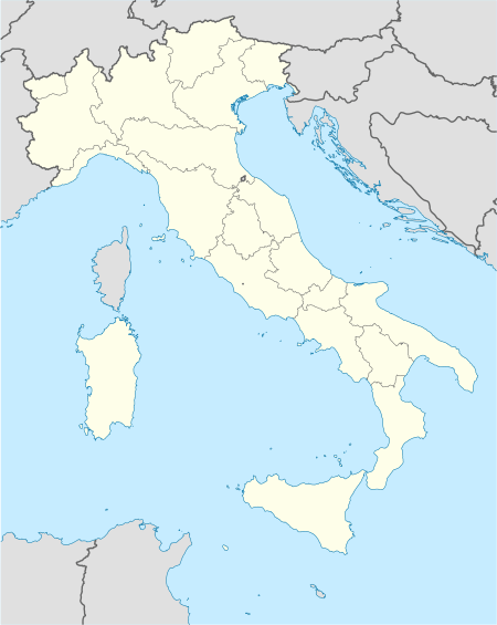
| Regio | Toscane (TOS) | ||
| Provincie | Florence (FI) | ||
| Coördinaten | 43° 44′ NB, 11° 1′ OL | ||
| Algemeen | |||
| Oppervlakte | 24,6 km² | ||
| Inwoners (31 dec. 2013) | 13.970 (568 inw./km²) | ||
| Hoogte | 35 m | ||
| Overig | |||
| Postcode | 50056 | ||
| Netnummer | 0571 | ||
| Beschermheilige | San Giovanni | ||
| Naam inwoner | montelupini | ||
| ISTAT-code | 048028 | ||
Detailkaart | |||
 | |||
| Locatie van Montelupo Fiorentino in Florence (FI) | |||
Foto's | |||
 | |||
| Montelupo Fiorentino aan de rivier de Pesa | |||
| |||
De volgende plaatsen (frazioni) maken deel uit van de gemeente: Ambrogiana, Botinaccio, Camaioni, Citerna, Erta, Fibbiana, San Quirico, Samminiatello, Sammontana, Pulica, Turbone.
Demografie
Montelupo Fiorentino telt ongeveer 4649 huishoudens. Het aantal inwoners steeg in de periode 1991-2001 met 11,7% volgens cijfers uit de tienjaarlijkse volkstellingen van ISTAT.
| Jaar | Inwoneraantal |
|---|---|
| 1991 | 10.064 |
| 2001 | 11.240 |
Geografie
De gemeente ligt op ongeveer 35 m boven zeeniveau.
Montelupo Fiorentino grenst aan de volgende gemeenten: Capraia e Limite, Carmignano (PO), Empoli, Lastra a Signa, Montespertoli.
Externe link
| Bronnen, noten en/of referenties |
| Gemeenten in de metropolitane stad Florence |
|---|
|
Bagno a Ripoli · Barberino Val d'Elsa · Barberino di Mugello · Borgo San Lorenzo · Calenzano · Campi Bisenzio · Capraia e Limite · Castelfiorentino · Cerreto Guidi · Certaldo · Dicomano · Empoli · Fiesole · Figline e Incisa Valdarno · Florence · Firenzuola · Fucecchio · Gambassi Terme · Greve in Chianti · Impruneta · Lastra a Signa · Londa · Marradi · Montaione · Montelupo Fiorentino · Montespertoli · Palazzuolo sul Senio · Pelago · Pontassieve · Reggello · Rignano sull'Arno · Rufina · San Casciano in Val di Pesa · San Godenzo · Scandicci · Scarperia e San Piero · Sesto Fiorentino · Signa · Tavarnelle Val di Pesa · Vaglia · Vicchio · Vinci |
| Zie de categorie Montelupo Fiorentino van Wikimedia Commons voor mediabestanden over dit onderwerp. |