Montacuto
Montacuto is een gemeente in de Italiaanse provincie Alessandria (regio Piëmont) en telt 335 inwoners (31-12-2004). De oppervlakte bedraagt 23,7 km², de bevolkingsdichtheid is 14 inwoners per km².
Gemeente in Italië | |||
 | |||
| Situering | |||
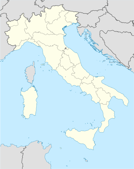
| Regio | Piëmont (PMN) | ||
| Provincie | Alessandria (AL) | ||
| Coördinaten | 44° 46′ NB, 9° 6′ OL | ||
| Algemeen | |||
| Oppervlakte | 23,7 km² | ||
| Inwoners (31 dec. 2016) | 267 (11 inw./km²) | ||
| Hoogte | 525 m | ||
| Overig | |||
| Postcode | 15050 | ||
| Netnummer | 0131 | ||
| Naam inwoner | monteacutesi | ||
| ISTAT-code | 006102 | ||
| |||
Demografie
Montacuto telt ongeveer 182 huishoudens. Het aantal inwoners daalde in de periode 1991-2001 met 13,5% volgens cijfers uit de tienjaarlijkse volkstellingen van ISTAT.
| Jaar | Inwoneraantal |
|---|---|
| 1991 | 392 |
| 2001 | 339 |
Geografie
De gemeente ligt op ongeveer 525 m boven zeeniveau.
Montacuto grenst aan de volgende gemeenten: Albera Ligure, Cantalupo Ligure, Dernice, Fabbrica Curone, Gremiasco, San Sebastiano Curone.
| Bronnen, noten en/of referenties |
This article is issued from
Wikipedia.
The text is licensed under Creative
Commons - Attribution - Sharealike.
Additional terms may apply for the media files.