West Pasaman Regency
West Pasaman Regency (Indonesian: Kabupaten Pasaman Barat) is a regency (kabupaten) of West Sumatra, Indonesia. It has an area of 3,887.77 km2, and in January 2014 it had a population of 384,104.
West Pasaman Regency Kabupaten Pasaman Barat | |
|---|---|
 Seal | |
| Motto(s): Tuah Basamo | |
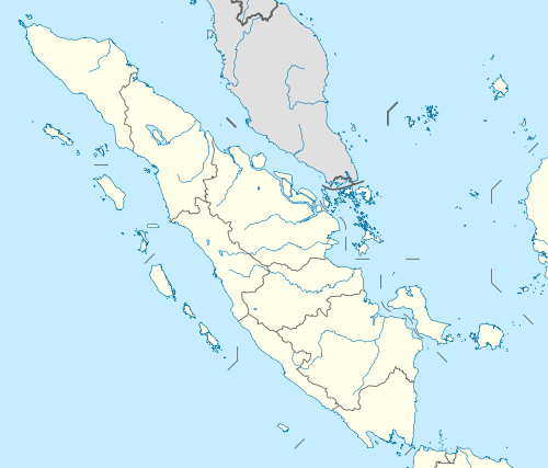
 Location within West Sumatra | |
| Coordinates: 0.28152°N 99.51965°E | |
| Country | Indonesia |
| Province | West Sumatra |
| Regency seat | Simpang Ampek |
| Government | |
| • Regent | Syahiran |
| • Vice Regent | Yulianto |
| Area | |
| • Total | 3,887.77 km2 (1,501.08 sq mi) |
| Population (2014) | |
| • Total | 384,104 |
| • Density | 99/km2 (260/sq mi) |
| Time zone | UTC+7 (IWST) |
| Area code | (+62) 753 |
| Website | pasamanbaratkab |

Administrative divisions
West Pasaman Regency is divided into eleven districts (kecamatan), listed below with their populations at the 2010 Census:[1]
- Sungai Beremas (21,345)
- Ranah Batahan (23,483)
- Koto Balingka (26,048)
- Sungai Aur (30,846)
- Lembah Malintang (41,924)
- Gunung Tuleh (20,315)
- Talamau (25,871)
- Pasaman (62,864)
- Luhak Nan Duo (37,409)
- Sasak Ranah Pasisie (13,233)
- Kinali (60,791)
Airport
Pusako Anak Nagari Airport is an airport that located in Luhak Nan Duo district, West Pasaman Regency
Mount Talamau
Talamau Peak (2,900 masl) can be accessed from Bundaran Simpang Ampek Pasaman vice versa in two or three days trip and located at Jorong Pinagar Nagari Aur Kuning, Pasaman District, West Pasaman Regency. Mount Talamau has more than 10 waterfalls and at around the peak there are also more than 10 lakes surrounding by many kinds of colourful flowers.[2]
References
- Biro Pusat Statistik, Jakarta, 2011.
- Beautiful Mount Talamau