West Kensington, Philadelphia
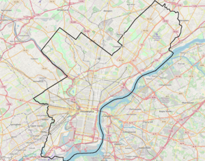
West Kensington is a neighborhood in the North Philadelphia section of Philadelphia. It is north of Olde Kensington. The Market Frankford El above Front Street forms the line between West Kensington and Kensington. Its bordering neighborhoods are Kensington to the east, Harrowgate to the northeast, and Fairhill to the west. It is bounded by Kensington Avenue to the east, American Street to the west, York Street to the South and Allegheny Avenue to the north.
West Kensington | |
|---|---|
 | |
 West Kensington | |
| Coordinates: | |
| Country | |
| State | Pennsylvania |
| County | Philadelphia County |
| City | Philadelphia |
| Area code(s) | 215, 267 and 445 |
Demographics
As of the 2010 Census, West Kensington was 71.7% Hispanic, 17.2% African American, 5% white, 2.9% Asian, 3.1% all other. Historically it had been a heavily Irish-American neighborhood. Today the community is largely populated by Latinos (mostly Puerto Ricans), but also has significant populations of Irish Americans, Italian Americans, and African Americans.
Landmarks
The neighborhood was the fictional setting of the movie Rocky, by Sylvester Stallone. It is alternatively known as "K&A" (for the intersection of Kensington and Allegheny Avenues.)
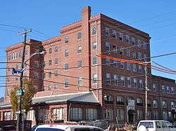
The William Adamson School and David Farragut School are listed on the National Register of Historic Places.[1]
Education
School District of Philadelphia operates public schools.
The Free Library of Philadelphia Lillian Marrero Branch serves West Kensington.[2]
References
- "National Register Information System". National Register of Historic Places. National Park Service. July 9, 2010.
- "Lillian Marrero Branch." Free Library of Philadelphia. Retrieved on October 19, 2012.
External links