Dunlap, Philadelphia
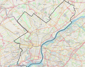
Dunlap is a small neighborhood in the West Philadelphia section of Philadelphia, Pennsylvania. The neighborhood lies between Haverford Avenue and Market Street and stretches from 46th to 52nd streets.[1] Dunlap is squeezed in between the neighborhoods of Mill Creek and Haddington and situated just north of Walnut Hill. The neighborhood is named after the former historic Thomas Dunlap School that was restored into senior homes in 1991. Dunlap is located in the 19139 ZIP Code, and is located is situated in the Philadelphia Police Department's 19th police district which encompasses a large portion of West Philadelphia.
Dunlap | |
|---|---|
 Dunlap neighborhood | |
 Dunlap | |
| Coordinates: | |
| Country | |
| State | Pennsylvania |
| County | Philadelphia County |
| City | Philadelphia |
| ZIP code | 19139 |
| Area code(s) | 215, 267 and 445 |
According to some sources, the neighborhood is generally known for low income housing with household incomes generally below the poverty level. The area has many dilapidated or abandoned houses.[2]

The area is served by SEPTA's 52nd Street station.
References
- Kenneth, Finkel. Philadelphia Almanac and Citizen's Manual (1994–1995 ed.). Library Company of Philadelphia. Augmented by the staff of the Philadelphia City Archives.
- "Dunlap Philadelphia".