The Falls, Queensland
The Falls is a rural locality in the Southern Downs Region, Queensland, Australia.[1] It borders New South Wales.[2]
| The Falls Queensland | |||||||||||||||
|---|---|---|---|---|---|---|---|---|---|---|---|---|---|---|---|
 The Falls | |||||||||||||||
| Coordinates | 28.3172°S 152.3947°E | ||||||||||||||
| Postcode(s) | 4373 | ||||||||||||||
| Area | 63.3 km2 (24.4 sq mi) | ||||||||||||||
| LGA(s) | Southern Downs Region | ||||||||||||||
| State electorate(s) | Southern Downs | ||||||||||||||
| Federal Division(s) | Maranoa | ||||||||||||||
| |||||||||||||||
History
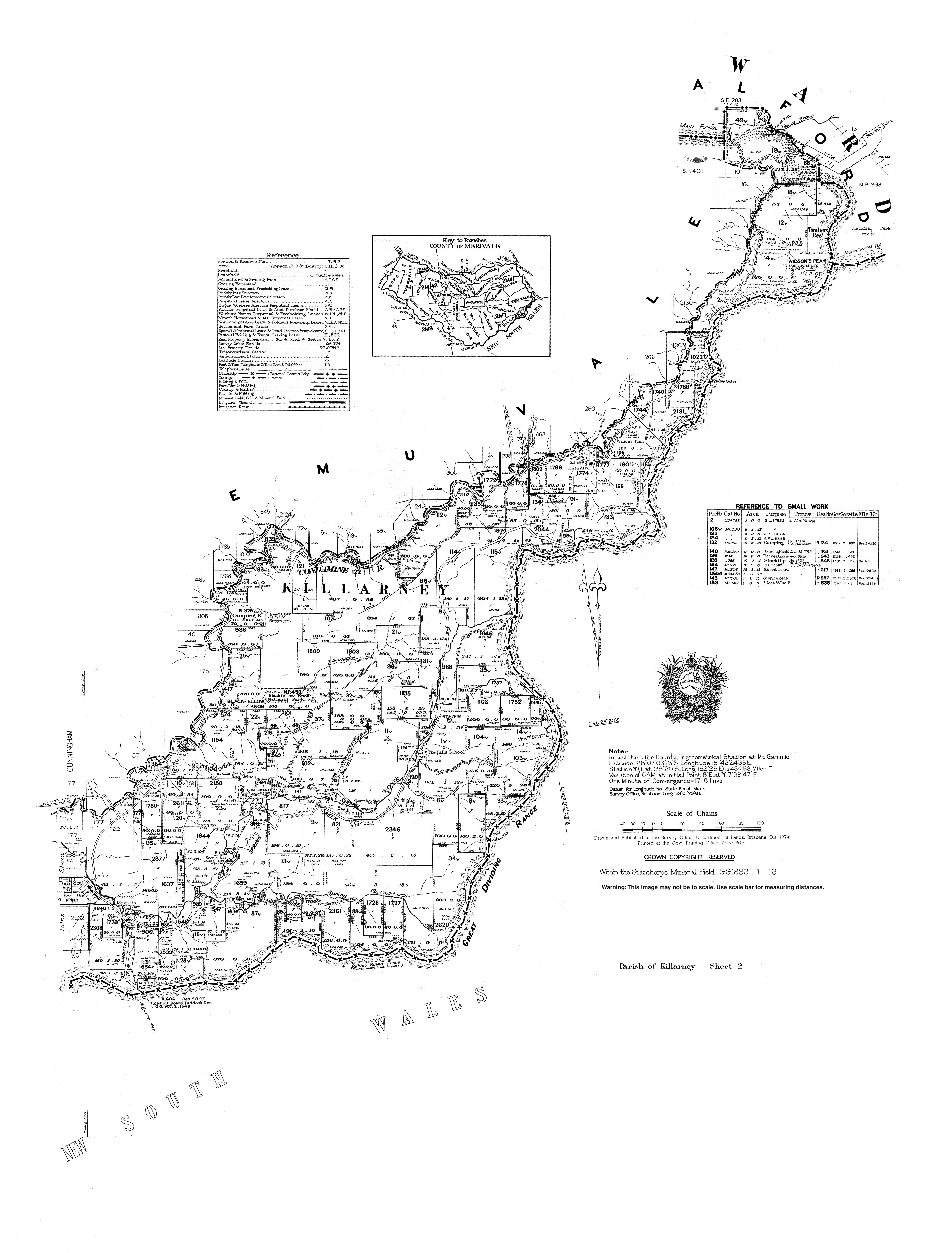
The location presumably takes its name from the Queen Mary Falls on Spring Creek within the locality.[3]
Ferndale Provisional School opened on 9 November 1948. In 1953 it became The Falls State School in 1953. The school closed on 26 August 1974.[4] The school was located at 902 Spring Creek Road (28.3315°S 152.3885°E).[5][6]
References
- "The Falls - locality in Southern Downs Region (entry 45988)". Queensland Place Names. Queensland Government. Retrieved 31 December 2017.
- "Queensland Globe". State of Queensland. Retrieved 5 May 2020.
- "Queen Mary Falls - waterfall in the Southern Downs Region (entry 27792)". Queensland Place Names. Queensland Government. Retrieved 2 January 2017.
- Queensland Family History Society (2010), Queensland schools past and present (Version 1.01 ed.), Queensland Family History Society, ISBN 978-1-921171-26-0
- "Parish of Killarney map, sheet 2". Queensland Government. 1974. Retrieved 19 November 2019.
- "Queensland Globe". State of Queensland. Retrieved 18 November 2019.
This article is issued from Wikipedia. The text is licensed under Creative Commons - Attribution - Sharealike. Additional terms may apply for the media files.