Southpark Village
Southpark Village is a housing estate in the Scottish city of Glasgow. The northwestern area was built during the mid to late 1980s, but the southwestern part was built in the 2010s. It is located on the south-western edge of the conurbation, close to the town of Barrhead in East Renfrewshire. Nearby areas within Glasgow are Darnley to the north, Deaconsbank to the east, and Parkhouse to the northwest, although Southpark is separated from other developments by green space and the Dams to Darnley Country Park.
Southpark Village
| |
|---|---|
 Houses on Waulkglen Avenue | |
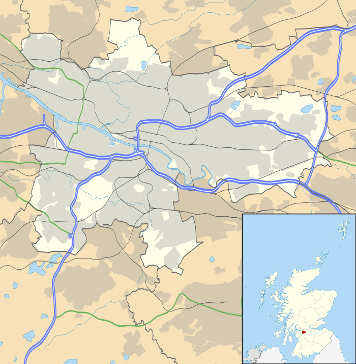 Southpark Village Location within Glasgow | |
| Council area | |
| Lieutenancy area |
|
| Country | Scotland |
| Sovereign state | United Kingdom |
| Post town | GLASGOW |
| Postcode district | G53 7 |
| Dialling code | 0141 |
| Police | Scotland |
| Fire | Scottish |
| Ambulance | Scottish |
| UK Parliament | |
| Scottish Parliament | |
History
The entire area was once owned by Lord Darnley, who ran linen works in the area.[1] The remains of a large house can be found a few miles south of the village, and this appears to have belonged to Lord Darnley himself.[2]
In later years the surrounding area was extensively quarried for limestone and mined for coal;[3][4] During the late stages of the life of the mine, a catastrophic explosion occurred killing many local miners. A monument to those lost in the disaster currently sits on the Nitshill Road (A726) beside the train station at Nitshill, north west of Southpark.[5] The consequences of this disaster and the subsequent abandonment of the mine have been felt as recently as the late 1990s when a mine shaft collapsed in an area near the estate, leading to a massive landfill operation which successfully prevented the land around the shaft from collapsing any further.
Characteristics
.jpg)
.jpg)
Most homes in the area are occupied by private owners who are within working class or lower/medium-middle class income brackets. The neighbourhood is conveniently located for commuting to work by car via the M77 motorway and is also fairly close to suburban railway stations (Nitshill and Priesthill & Darnley).
Like much of Glasgow since the mid-20th century, the area is ethnically diverse. Southpark falls under the council tax bracket of Glasgow City Council, within its Greater Pollok ward. The area has many communal landscaped areas that are maintained through financial contributions by the residents of the estate.
There is a retail park to the north of the housing, consisting of large Sainsbury's, fast food outlets and a pub/restaurant.[6] It was built on the site of the Darnley Mains farm.[7]. To the southeast of this retail area there is a large B&Q store.
Land to the east of B&Q - directly adjacent to the motorway - was designated for further retail for some years, but failed to attract investors for this use (likely due in part to the busy Silverburn Centre at the next junction north.) so was reallocated to new housing in the late 2010s.[8][9] At that time another residential development between the existing Southpark neighbourhood and the Darnley Mains site, Glenmill (320 houses) was also constructed by Persimmon Homes and Bellway.[10]
References
- Darnley Bleachfield and Upper Darnley (Pollok House, 1830), The Glasgow Story
- Darnley House and Bleachfields, Dams to Darnley Country Park
- Nitshill and Arden (West of Scotland Archaeology Service, 1959), The Glasgow Story
- Mining, quarrying and the qandfill legacy, Dams to Darnley Country Park
- Eye Spy Glasgow: A memorial to 61 miners who lost their lives in pit disaster, Evening Times, 4 July 2014
- Darnley Leisure Park, EPF
- The Mains of Darnley (Pollok House, 1830), The Glasgow Story
- Development site at Darnley Mains in Glasgow sold in £5.3m deal, The Insider, 13 July 2015
- Large Darnley Mains Site Beside M77 Can Be Used For Housing, REGlasgow, 21 November 2018
- Darnley Mains, Glasgow, Akela Construction, 2017