Plantation, Glasgow
Plantation is an area in the city of Glasgow, Scotland. It is situated south of the River Clyde and is part of the former Burgh of Govan.[1]
| Plantation | |
|---|---|
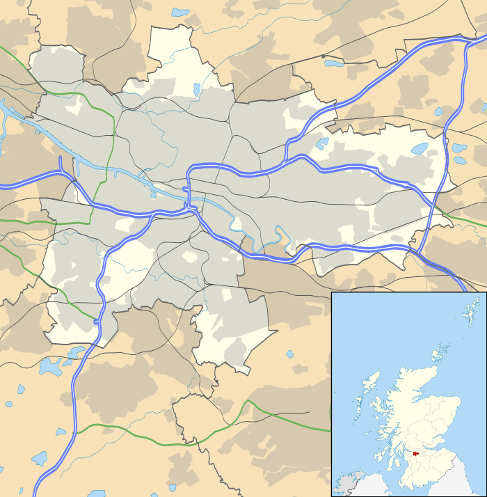 Plantation Location within Glasgow | |
| OS grid reference | NS570647 |
| Council area | |
| Lieutenancy area |
|
| Country | Scotland |
| Sovereign state | United Kingdom |
| Post town | GLASGOW |
| Postcode district | G51 1 |
| Dialling code | 0141 |
| Police | Scotland |
| Fire | Scottish |
| Ambulance | Scottish |
| UK Parliament | |
| Scottish Parliament | |
The 80-acre Craigiehall estate, previously three smaller properties, was bought in 1783 by John Robertson[2], a cashier in the Glasgow Arms Bank, who with his brothers owned cotton and sugar plantations in the West Indies. He renamed it Plantation[3], not as is commonly thought as a reminder of the West Indies plantations[4], but in recognition of an earlier name for Sir John Maxwell's estate, which in 1741 included the whole of the Kinning Park area right up to the riverbank, including a number of fields called Plantation, totaling about 46 acres.[5][6] It then, in 1793, passed to John Mair (d. 1867), a merchant who developed the building and gardens. Plantation passed to the Maclean family, The Macleans of Plantation, in 1829, in the person of William Maclean (1783-1867), a Glasgow Baillie.[7]
In the years that followed, the estate was bisected by the railway to the south, with the shipbuilding yards of The Clyde Trust cutting off the estate from the river. Tenement housing was built and the house demolished in about 1900.[8]
Plantation Quay formed part of the site for the Glasgow Garden Festival in 1988 and subsequent Glasgow Science Centre.[3]
Before demolition of the 19th century tenements in the 1970s, Plantation's streets included Lorne Street, MacLean Street, Blackburn Street, Plantation Street, Eaglesham Street, Mair Street, Craigiehall Street and Rutland Crescent; parts of Paisley Road West and Govan Road are also part of the district. The main primary school is Lorne Street Primary School. Other points of interest are the local Church of Scotland and Harper Memorial Baptist Church, named for John Harper the first pastor, who died in the Titanic disaster.
Today, Plantation is where all the major roads join around the Tradeston area and where the M8 meets the junction of the M77 and the M74.[9]
References
- "2nd Edition Ordnance Survey". 1893–94. Retrieved 16 April 2012.
- "John Robertson of Plantation". Legacies of British Slave-ownership. Retrieved 2 July 2017.
- "Plantation (Craigiehall)". Gazetteer for Scotland. Retrieved 3 December 2017.
- "TheGlasgowStory: Plantation House". www.theglasgowstory.com. Retrieved 8 June 2019.
- "The Hidden Glasgow Forums • View topic - Plantation". www.hiddenglasgow.com. Retrieved 8 June 2019.
- "Strathbungo in Maps". Bygone Bungo. Retrieved 8 June 2019.
- MacLean, William Donald (June 2017). "The Macleans of Plantation". Clan Maclean 2017 Gathering Souvenir Magazine: 28–29.
- MacLean, William Donald (June 2017). "The Macleans of Plantation". Clan Maclean 2017 Gathering Souvenir Magazine: 28–29.
- Brestovca, Fat (21 November 2018). "What and where is Plantation? We solve a great Glasgow mystery". glasgowlive. Retrieved 17 September 2019.
If You check out Maps from 40 yrs before Robertson bought the land from the Maxwells, it was already called Plantation - so can't have anything to Do with His slavery links - top left hand side of Strathbungo map, near the Clyde - an area most likely a Plantation of Copse woodland
[1]