Craigton, Glasgow
Craigton (Scottish Gaelic: Baile Chreig) is a residential suburb in the southwest of the city of Glasgow, Scotland. Located approximately 3 miles (4.8 km) from the city centre, it is bordered by Bellahouston Park to the south and Halfway to the west, with Cardonald beyond.[1]
Craigton
| |
|---|---|
 Shops and tenements in Craigton on Paisley Road West | |
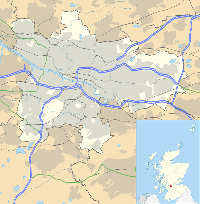 Craigton Location within Glasgow | |
| OS grid reference | NS543643 |
| Council area | |
| Lieutenancy area |
|
| Country | Scotland |
| Sovereign state | United Kingdom |
| Post town | GLASGOW |
| Postcode district | G52 |
| Dialling code | 0141 |
| Police | Scotland |
| Fire | Scottish |
| Ambulance | Scottish |
| UK Parliament | |
| Scottish Parliament | |
The area was historically farming land for Govan, which is nearby to the north across the M8 motorway and Inverclyde Line railway tracks. A pedestrian underpass, previously a road on which city trams operated, leads north from Craigton under the motorway onto Craigton Road, which is within the Drumoyne neighbourhood. Historically the Craigton Road area was occupied by Craigton Farm, while the estate of Craigton House[2] was acquired to build the Craigton neighbourhood (developed for housing between the World Wars, as were Drumoyne and other nearby developments like the contrasting Moorepark and Mosspark projects).
The area has an eponymous primary school opened in 1910[3][4] (once attended by artist George Wyllie),[5] a small industrial estate and a number of shops lining Paisley Road West. Craigton Cemetery is immediately to the west of Craigton and was opened in 1873. The cemetery grounds contain a crematorium, which opened in 1957.[1] To the east is Helen Street police station (a modern replacement for Govan's previous offices in Orkney Street)[6][7] built on the site of the White City Stadium, used for greyhound racing and motorcycle speedway; Ibrox railway station was slightly further east, also within walking distance of Craigton until its closure in the late 1960s, about the same time as the stadium.
The triangular parcel of land between Paisley Road West and Mosspark Boulevard and west of Bellahouston Park has been occupied by housing since the 1920s. It was originally fields belonging to a farm called Wearieston[8][9] so was occasionally known as such in the years following its construction, but the name has since fallen out of use.
Since 2017, Craigton has fallen within the Pollokshields ward under Glasgow City Council, having been in the Govan ward for the decade prior. There was also a ward named Craigton, but the neighbourhood of that name was never part of it, and in 2017 it was re-named to the more accurate title of Cardonald.
References
- "Craigton". Gazetteer for Scotland. Retrieved 13 April 2019.
- Craigton House (Glasgow University Library, Special Collections, Dougan Collection, 1870), The Glasgow Story
- Craigton Primary School (Glasgow City Archives, Department of Education, 1970s), The Glasgow Story
- Craigton Primary School in Glasgow, Getty Images, 27 October 1998
- Kids at Craigton Primary inspired by former pupil George Wyllie, Glasgow Live, 14 March 2017
- Report - Former Govan Police Station & jail, 23/06/06, 28DaysLater, 29 November 2008
- Orkney Street Police Station gets make over, Evening Times, 19 September 2008, via Clyde Waterfront
- Lanarkshire OS Name Books, 1858-1861, ScotlandsPlaces
- OS 25 inch Scotland, 1892-1905, Explore georeferenced maps (National Library of Scotland)