Eastwood, Glasgow
Eastwood is a residential neighbourhood in the city of Glasgow, Scotland. It is situated south of the River Clyde, and is part of the Newlands/Auldburn ward under Glasgow City Council.
| Eastwood | |
|---|---|
.jpg) View looking north towards Eastwood on Thornliebank Road, with green 'Welcome to Glasgow' sign denoting city boundary | |
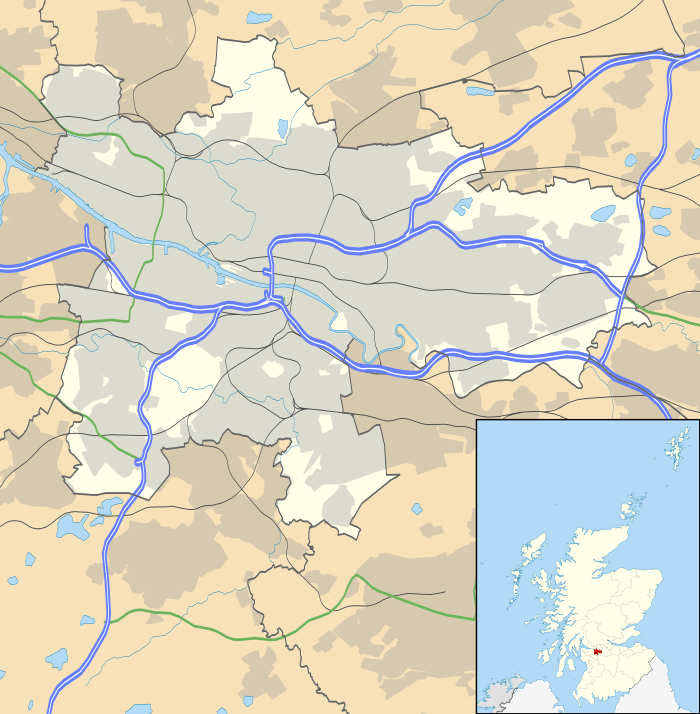 Eastwood Location within Glasgow | |
| OS grid reference | NS555604 |
| Council area | |
| Lieutenancy area |
|
| Country | Scotland |
| Sovereign state | United Kingdom |
| Post town | GLASGOW |
| Postcode district | G43 1 |
| Dialling code | 0141 |
| Police | Scotland |
| Fire | Scottish |
| Ambulance | Scottish |
| UK Parliament | |
| Scottish Parliament | |
Description
The Eastwood neighbourhood has a somewhat isolated location, situated in an area of low ground bounded by the Auldhouse Burn and the Glasgow South Western Line railway to the north and west, and with the only main road in and out (B769 Thornliebank Road) forming the eastern boundary on elevated ground, with the higher Mansewood neighbourhood beyond.
In addition to the burn and railway, between Eastwood and the Carnwadric neighbourhood to the south are a cemetery (Old Eastwood)[1] and a set of private playing fields (Auldhouse) belonging to Hutcheson's Grammar School,[2] previously home ground of the Hutchesons' GSFP (1923–1990) and Hutchesons Aloysians (1990–2002) rugby teams and also used at times by Clydesdale Cricket Club.[3] Cartcraig, the southernmost part of Pollokshaws, is a short distance away to the north, but on the other side of the burn with no direct access, the closest crossing point being on the main road at Auldhouse Bridge.[4][5]
History
Until after World War II when the houses were built (most being three or four-storey tenements as well as some modest terraced houses),[6] the only building of significance in the area[7][8] was Auldhouse Mansion which dates from the 1630s, is one of the oldest houses in Glasgow[5][9] and still stands today, being owned originally by John Maxwell, Lord Pollok [10][11] and later extended,[12] becoming a children's home in the 20th century[13] and eventually converted to private residences.[5][14] Nearby (but across the main road, therefore not actually in modern Eastwood) is Eastwood Parish Church[15] which dates from 1863, replacing an older building from 1781[16] which itself replaced the original in Old Eastwood Cemetery.[9]
Other uses of the name
Originally in the historic Renfrew County, the civil parish of Eastwood was split in 1912 when the northern part was annexed to Glasgow. The name was thereafter used for a local government district in the 1970s within Strathclyde region and constituencies in the Scottish and UK parliament, but all of these (as well as a golf club south of Newton Mearns,[17] a secondary school in that town, a health centre in Clarkston,[18] the 'new' (1900s) cemetery for the area in Thornliebank,[19] and a park, leisure centre[20] and 1850s country house in Giffnock)[21][22] pertain to the post-1996 East Renfrewshire local authority area; the only facilities using the Eastwood name within the neighbourhood of Glasgow being the community centre and nursery school.
Transport
The main road is used by local buses including the frequent 57/57A First Glasgow service,[23][24] and Thornliebank railway station is within walking distance to the south.
References
- Glasgow, Thornliebank, 200 Thornliebank Road, Eastwood Churchyard, Canmore
- Our school: Facilities, Hutcheson's Grammar School
- Facilities, Clydesdale Cricket Club
- Before the Houses, History of Mansewood
- Pollokshaws & Auldhouse illustrated guide, Scotcities
- Fyvie Avenue (Glasgow City Archives, Department of Architectural and Civic Design (1951), The Glasgow Story
- OS Six-inch 1st edition, 1843–1882, Explore georeferenced maps (National Library of Scotland)
- Town Plans / Views, Glasgow, Bart PO, 1925, Explore georeferenced maps (National Library of Scotland)
- Pollokshaws Heritage Trail, Pollokshaws Heritage Group / Glasgow City Council
- Auldhouse, Old Country Houses of the Old Glasgow Gentry (1878)
- The Auld House (Pollok House, c.1830), The Glasgow Story
- Eastwood, a Renfrewshire Parish, History of Mansewood
- Glasgow, 2 Auldhouse Court, Auldhouse, Canmore
- Auldhouse (Glasgow University Library, Special Collections, Dougan Collection, 1870), The Glasgow Story
- Where You Belong, Eastwood Parish Church
- A view of Eastwood Church (Pollok House, c.1830), The Glasgow Story
- Welcome to Eastwood, The Eastwood Golf Club
- Eastwood Health and Care Centre, Hoskins Architects
- Glasgow (Eastwood) New Cemetery, Commonwealth War Graves Commission
- Eastwood swimming baths closed for three weeks over Christmas, Barrhead News, 14 December 2018
- Eastwood House, East Renfrewshire Leisure and Culture
- Giffnock, Rouken Glen Road, Eastwood Park House, Canmore
- "Frequency Guide" (PDF). First Glasgow. 1 January 2018. Retrieved 20 September 2019.
- "Glasgow Network Map" (PDF). First Glasgow. 1 January 2018. Retrieved 20 September 2019.