Silver Lake (Ontario)
Silver Lake is a small lake near Coboconk, in the Canadian province of Ontario. It is the lowest lake on the Gull River watershed, supplying water to Balsam Lake at the top of the Trent-Severn Waterway. Like many other lakes in the Kawarthas, Silver Lake lies in a depression formed between the Precambrian granite to the north, and the Ordovician limestone to the south.
| Silver Lake | |
|---|---|
| Location | Ontario |
| Group | Kawartha lakes |
| Coordinates | 44°41′4″N 78°47′56″W |
| Primary inflows | Shadow Lake |
| Primary outflows | Balsam Lake |
| Basin countries | Canada |
| Max. length | 1,250 m (4,100 ft) |
| Max. width | 600 m (2,000 ft) |
| Max. depth | 14.63 m (48.0 ft) |
| Residence time | 1 year |
| Surface elevation | 260 m (850 ft) |
| Islands | 1 (Unnamed) |
| Settlements | Coboconk, Ontario |
Location
Silver Lake is located along the Gull River and forms a portion of the boundary between the former townships of Somerville and Bexley. It is the southernmost lake in a chain of reservoirs feeding the Trent-Severn Waterway at its highest point.[1]
Geography
The lake sits atop the dividing line between the Precambrian granite Canadian Shield to the north, and the Paleozoic and Ordovician limestone to the south.[2] Granite outcroppings can be seen beginning at the midpoint of the lake, including a small island in the north end of the lake with a cottage built upon it. On the south-east end, the limestone cuesta, which marks the boundary of the limestone and granite north of the lake, rises as a sheer cliff face several metres out of the water, following the length of the river southwest through Coboconk.
Events
An F1 (possibly an F2) tornado touched down and crossed the lake at around 2:45pm on July 26, 2008. Severe weather warnings were in effect at the time.[3][4] Large areas of forest were destroyed on either side of the lake, but no injuries or substantial damage to cottages was reported.[5]
See also
- List of lakes in Ontario
References
- Kirkfield Lift Locks information plaque
- Trent Conservation Coalition (2004), Paleozoic Region - Bedrock Topography and Geology (PDF), Ontario Ministry of Environment, retrieved December 26, 2009
- Environment Canada confirms Coboconk funnel cloud was a tornado |VIDEO - myKawartha
- "Coboconk tornado confirmed by experts", Ottawa Citizen, 2008-07-30, retrieved 2009-08-21
- Canadian Press (2008-07-29), "Coboconk tornado confirmed", The Star, retrieved 2009-08-21
External links
City of Kawartha Lakes | |||||||
|---|---|---|---|---|---|---|---|
| Towns | 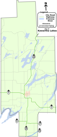 | ||||||
| Villages and unincorporated communities |
| ||||||
| Former townships | |||||||
| Major lakes |
| ||||||
| Topics | |||||||
1) This area lies on the border of an adjacent region, but is part of the Kawartha Lakes census. | |||||||