Victoria Road, Ontario
Victoria Road is an unincorporated community in the Canadian province of Ontario, located within the single-tier municipality of Kawartha Lakes. The village was built around a station on the Toronto and Nipissing Railway, which was constructed in 1872.[1] The station — the second last on the line — served the community and area until the last train passed through in 1965, after which the tracks were lifted.
Victoria Road | |
|---|---|
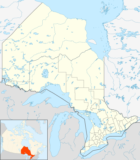 Victoria Road Location of Victoria Road in Ontario | |
| Coordinates: 44°35′46″N 78°56′19″W | |
| Country | Canada |
| Province | Ontario |
| Municipality | Kawartha Lakes |
| Founded | 1872 |
| Elevation | 259 m (850 ft) |
| Time zone | UTC-5 (Eastern Time Zone) |
| • Summer (DST) | UTC-4 (Eastern Time Zone) |
| FSA | K0M |
| Area code(s) | 705 |
Victoria Road is located on the north-eastern tip of Mitchell Lake. Like most of the surrounding area, the soil is extremely thin, at times less than 2 inches (5 cm) thick, resulting in very little farmland in the area.[2] At the peak of the village, it contained several small industries and three hotels.[1]
The origin of the name is unknown, but likely from the Victoria Colonization Road, today's Kawartha Lakes Road 35, which was built between 1859 and 1861 and passes through the village. For a time, the village was known as "The City of Peace" and "The Road."[1]
An 1881 survey map lists it as the village of Bexley, with the railroad station listed as Victoria Road Station.[3]
References
- Kirkconnell, Watson. "History of Bexley Township - The City of Peace". Retrieved 2009-09-07.
- Kirkconnell, Watson (1921). "History of Victoria County - The Beginnings of Bexley". Lindsay: Watchman Warder. Retrieved 2009-09-07.
- "McGill University - 1881 Map of Bexley Township". Retrieved 2009-09-07.
- "Victoria Road". Geographical Names Data Base. Natural Resources Canada. Retrieved 2010-10-24.
- "Topographic Map sheet 31D10". Atlas of Canada. Natural Resources Canada. 2010-02-04. Retrieved 2010-10-24.
See also
City of Kawartha Lakes | |||||||
|---|---|---|---|---|---|---|---|
| Towns | 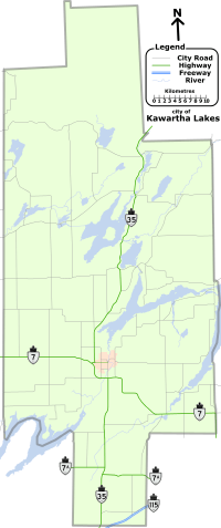 | ||||||
| Villages and unincorporated communities |
| ||||||
| Former townships | |||||||
| Major lakes |
| ||||||
| Topics | |||||||
1) This area lies on the border of an adjacent region, but is part of the Kawartha Lakes census. | |||||||