Saint-Théophile, Quebec
Saint-Théophile is a municipality in the Municipalité régionale de comté de Beauce-Sartigan in Quebec, Canada on the Canada–United States border. It is part of the Chaudière-Appalaches region and the population is 765 as of 2009. It is named after reverend Théophile Montminy, who had been chosen by the archdiocese to find a proper location for a church.
Saint-Théophile | |
|---|---|
Municipality | |
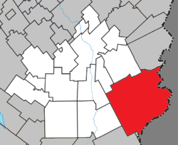 Location within Beauce-Sartigan RCM. | |
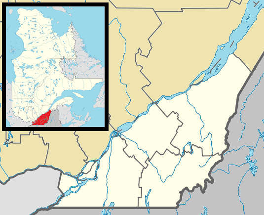 Saint-Théophile Location in southern Quebec. | |
| Coordinates: 45°56′N 70°29′W[1] | |
| Country | |
| Province | |
| Region | Chaudière-Appalaches |
| RCM | Beauce-Sartigan |
| Constituted | June 28, 1975 |
| Government | |
| • Mayor | Roland Boucher |
| • Federal riding | Beauce |
| • Prov. riding | Beauce-Sud |
| Area | |
| • Total | 436.90 km2 (168.69 sq mi) |
| • Land | 427.33 km2 (164.99 sq mi) |
| Population (2011)[3] | |
| • Total | 743 |
| • Density | 1.7/km2 (4/sq mi) |
| • Pop 2006-2011 | |
| • Dwellings | 378 |
| Time zone | UTC−5 (EST) |
| • Summer (DST) | UTC−4 (EDT) |
| Postal code(s) | G0M 2A0 |
| Area code(s) | 418 and 581 |
| Highways | |
| Website | www |
Saint-Théophile lies next to the border with Maine, and there is a border crossing on Route 173 within the municipality, in the hamlet of Armstrong. The Armstrong custom office is the third in importance in Quebec.
References
- Reference number 72590 of the Commission de toponymie du Québec (in French)
- Geographic code 29005 in the official Répertoire des municipalités (in French)
- "(Code 2429005) Census Profile". 2011 census. Statistics Canada. 2012.
- Commission de toponymie du Québec
- Ministère des Affaires municipales, des Régions et de l'Occupation du territoire
Places adjacent to Saint-Théophile, Quebec | |
|---|---|
| Cities & Towns | |
|---|---|
| Municipalities | |
| Parishes | |
| Villages | |
| |
This article is issued from Wikipedia. The text is licensed under Creative Commons - Attribution - Sharealike. Additional terms may apply for the media files.