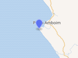
Porto Amboim
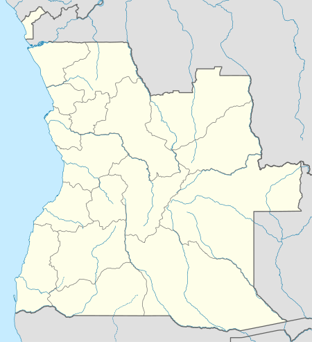
Porto Amboim is a port town in Cuanza Sul Province, Angola with a population of 65,000; it comprises an area of 4,638 km². In the past Porto Amboim was connected by an isolated 123 km 610 mm (2 ft) narrow gauge railway to Gabela, albeit closed in 1987 due to the civil war and to the abandonment of most coffee plantations, the biggest source of revenue from Gabela. Originally Porto Amboim was known as Kissonde, a small village later colonized in 1587 by the Portuguese naming it Benguela and later Benguela Velha (Old Benguela) due to the creation of another village today known as Benguela located 350 km south of Benguela Velho. In 1923, the name was changed to Porto Amboim. Today (2014) Porto Amboim is one of the growing areas for the offshore industry. The pre-salt in front of the coast of Angola, with Porto Amboim in the centre is a planned development area. With companies as Paenal, a joint venture between Sonangol, SBM and DSME and Heerema Porto Amboim, the two major offshore fabrication yards, Porto Amboim is developing.
Porto Amboim Kissonde Benguela | |
|---|---|
Municipality and Town | |
 Porto Amboim | |
| Coordinates: 10°43′6″S 13°45′0″E | |
| Country | |
| Province | Cuanza Sul |
| Elevation | 0 m (3 ft) |
| Population (2014 Census)[1] | |
| • Total | 242,444 |
| • Density | 14/km2 (40/sq mi) |
| Climate | Aw |
 Angola | |
| |
| Location | Porto Amboin Angola |
|---|---|
| Coordinates | 10°45′26″S 13°43′14″E |
| Year first constructed | ~1930s |
| Construction | masonry tower |
| Tower shape | quadrangular tower with balcony, external stairs and light |
| Markings / pattern | white tower |
| Tower height | 12 metres (39 ft)[2] |
| Focal height | 110 metres (360 ft)[2] |
| Range | 9 nautical miles (17 km; 10 mi)[2] |
| Characteristic | Oc (2) W 6s.[2] |
| Admiralty number | D5224[2] |
| NGA number | 25624[2] |
| ARLHS number | ANO-024[3] |
| Angola number | PT-5272[3] |
| Managing agent | Instituto Marítimo e Portuário de Angola |
Labor market
Due to these developments, demand for skilled labor is growing. As a result of the civil war, nowadays the educational system is still on a low development level although the present government puts in a lot of effort to raise the knowledge level of the population. Schools are built even in remote areas.
Local Content
See also
References
- "Resultados Definitivos Recenseamento Geral da População e Habitação – 2014 Província do Cuanza Sul" (PDF). Instituto Nacional de Estatística, República de Angola. Retrieved 3 May 2020.
- List of Lights, Pub. 113: The West Coasts of Europe and Africa, the Mediterranean Sea, Black Sea and Azovskoye More (Sea of Azov) (PDF). List of Lights. United States National Geospatial-Intelligence Agency. 2016.
- "Angola". The Lighthouse Directory. University of North Carolina at Chapel Hill. Retrieved 11 May 2017.
- "PORT AMBOIM City Council". etnia.org.
| Authority control |
|
|---|