Caconda
Caconda is a town and a municipality in the province of Huíla, Angola. The municipality had a population of 167,820 in 2014.[1]
Caconda | |
|---|---|
Municipality and town | |
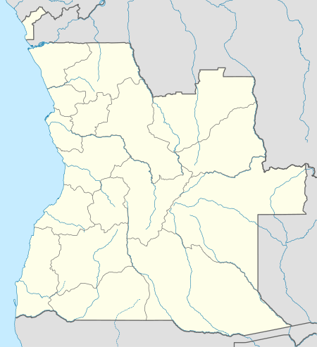 Caconda Location in Angola | |
| Coordinates: 13°46′S 15°5′E | |
| Country | |
| Province | Huíla |
| Area | |
| • Total | 1,785 sq mi (4,622 km2) |
| Population (2014 Census)[1] | |
| • Total | 167,820 |
| • Density | 94/sq mi (36/km2) |
| Time zone | UTC+1 (WAT) |
| Climate | Cwb |
It is located the Plano Alto region, approximately 280 km North of Lubango, the provincial capital city, and approximately 700 km South from Luanda, the country's capital city. The Concelho (municipality) was officially founded on 1857. It has a population of 167,820 (2014 census). In the 19th century, Caconda was the most advanced point in the colonial territory of Portugal in Africa.
There is also another populated place in Angola called Caconda, in the province of Huambo, and a river, in the province of Uige.
Caconda has a place in the history of zoology, because it was in this region that the great Portuguese naturalist and explorer José Alberto de Oliveira Anchieta (1833–1897) carried out the greater part of his work. He died in 1897 in Caconda, while returning from an expedition.
The Caconda region was severely affected by the Angolan Civil War. It is an extremely poor area, with a more than 20% malnutrition rate and many families living on subsistence farming. Many people were displaced during the civil war. The United Nations relief program and the World Food Program have been essential in addressing the humanitarian catastrophe.
Climate
Caconda has a subtropical highland climate (Köppen: Cwb).
| Climate data for Caconda | |||||||||||||
|---|---|---|---|---|---|---|---|---|---|---|---|---|---|
| Month | Jan | Feb | Mar | Apr | May | Jun | Jul | Aug | Sep | Oct | Nov | Dec | Year |
| Daily mean °C (°F) | 18.9 (66.0) |
19.0 (66.2) |
19.3 (66.7) |
19.0 (66.2) |
16.8 (62.2) |
14.9 (58.8) |
15.0 (59.0) |
17.2 (63.0) |
19.7 (67.5) |
20.5 (68.9) |
19.7 (67.5) |
19.0 (66.2) |
18.3 (64.9) |
| Average precipitation mm (inches) | 172 (6.8) |
160 (6.3) |
266 (10.5) |
123 (4.8) |
8 (0.3) |
0 (0) |
0 (0) |
0 (0) |
7 (0.3) |
93 (3.7) |
160 (6.3) |
193 (7.6) |
1,182 (46.6) |
| Source: Climate-Data-org[2] | |||||||||||||
References
- "Resultados Definitivos Recenseamento Geral da População e Habitação – 2014 Província da Huíla" (PDF). Instituto Nacional de Estatística, República de Angola. Retrieved 3 May 2020.
- "Climate: Caconda". Climate-Data.org. Retrieved 13 April 2014.