Phu Pha Man District
Phu Pha Man (Thai: ภูผาม่าน, pronounced [pʰūː pʰǎː mâːn]) is the northwesternmost district (amphoe) of Khon Kaen Province, northeastern Thailand.
Phu Pha Man ภูผาม่าน | |
|---|---|
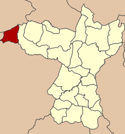 District location in Khon Kaen Province | |
| Coordinates: 16°38′42″N 101°54′14″E | |
| Country | Thailand |
| Province | Khon Kaen |
| Seat | Phu Pha Man |
| Area | |
| • Total | 284.6 km2 (109.9 sq mi) |
| Population (2005) | |
| • Total | 22,229 |
| • Density | 78.1/km2 (202/sq mi) |
| Time zone | UTC+7 (ICT) |
| Postal code | 40350 |
| Geocode | 4020 |
History
The district was established as a minor district (king amphoe) on 15 July 1981 with the two tambons Non Don and Na Fai split off from Chum Phae District.[1] The administration started operation on 1 September 1981, and on 1 October 1981 the district office building was opened. On 4 July 1994 the minor district was upgraded to a full district.[2]
Geography
Neighboring districts are (from the north clockwise): Phu Kradueng of Loei Province; Chum Phae of Khon Kaen Province; Khon San of Chaiyaphum Province; and Nam Nao of Phetchabun Province.
Administration
The district is divided into five subdistricts (tambons), which are further subdivided into 41 villages (mubans). Phu Pha Man is a township (thesaban tambon) which covers parts of tambons Phu Pha Man and Non Dong. There are a further five tambon administrative organizations (TAO).
| No. | Name | Thai name | Villages | Pop. | |
|---|---|---|---|---|---|
| 1. | Non Khom | โนนคอม | 8 | 4,111 | |
| 2. | Na Fai | นาฝาย | 6 | 2,591 | |
| 3. | Phu Pha Man | ภูผาม่าน | 9 | 4,767 | |
| 4. | Wang Suap | วังสวาบ | 10 | 3,900 | |
| 5. | Huai Muang | ห้วยม่วง | 8 | 6,860 |
References
- ประกาศกระทรวงมหาดไทย เรื่อง แบ่งท้องที่อำเภอชุมแพ จังหวัดขอนแก่น ตั้งเป้นกิ่งอำเภอภูผาม่าน (PDF). Royal Gazette (in Thai). 98 (125 ง): 2580. August 4, 1981.
- พระราชกฤษฎีกาตั้งอำเภอเปือยน้อย ... และอำเภอศรีวิไล พ.ศ. ๒๕๓๗ (PDF). Royal Gazette (in Thai). 111 (21 ก): 32–35. June 3, 1994.