Pamelia Center, New York
Pamelia Center is a hamlet and census-designated place (CDP) in Jefferson County, New York, United States. Its population was 264 as of the 2010 census.[1] The community is located at the junction of New York State Route 37 and New York State Route 342.
Pamelia Center, New York | |
|---|---|
 Pamelia Center  Pamelia Center | |
| Coordinates: 44°02′24″N 75°54′03″W | |
| Country | United States |
| State | New York |
| County | Jefferson |
| Town | Pamelia |
| Area | |
| • Total | 1.041 sq mi (2.70 km2) |
| • Land | 1.041 sq mi (2.70 km2) |
| • Water | 0 sq mi (0 km2) |
| Elevation | 469 ft (143 m) |
| Population | |
| • Total | 264 |
| • Density | 253.6/sq mi (97.9/km2) |
| Time zone | UTC-5 (Eastern (EST)) |
| • Summer (DST) | UTC-4 (EDT) |
| ZIP Code | 13637 (Pamelia) |
| Area code(s) | 315 & 680 |
| GNIS feature ID | 959803[2] |
| FIPS code | 36-56212 |
Geography
Pamelia Center is in central Jefferson County in the town of Pamelia. Interstate 81 runs along the western edge of the community, with access from Exit 48 (NY 342), and Interstate 781 runs through the northern part, with access from I-81 only. I-81 leads south 5 miles (8 km) to Watertown, the county seat, and north 25 miles (40 km) to the Canada–United States border at the St. Lawrence River. I-781 leads east 5 miles (8 km) to Fort Drum.
According to the U.S. Census Bureau, the CDP has an area of 1.041 square miles (2.70 km2), all of it land.[1]
References
- "2010 Census Gazetteer Files - Places: New York". U.S. Census Bureau. Retrieved April 5, 2017.
- "Pamelia Center". Geographic Names Information System. United States Geological Survey.
Municipalities and communities of Jefferson County, New York, United States | ||
|---|---|---|
| City | 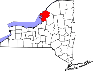 | |
| Towns | ||
| Villages | ||
| CDPs | ||
| Hamlets | ||