Nord-Pas de Calais Mining Basin
Nord-Pas-de-Calais Mining Basin is an area of France that has been added to the 2012 UNESCO World Heritage Sites list. This area has been shaped after three centuries of coal extraction from 18th century to 20th century and illustrates a significant period in the history of industrialisation in Europe.[1]
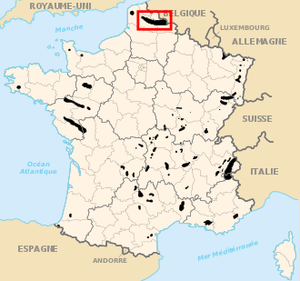
Nord-Pas de Calais mining basin location on French coal basins map.
| UNESCO World Heritage Site | |
|---|---|
 Nord-Pas de Calais Mining Basin is an area of great architectural and landscape diversity. | |
| Location | Nord-Pas-de-Calais, France |
| Includes | 108 components |
| Criteria | Cultural: (ii), (iv), (vi) |
| Reference | 1360 |
| Inscription | 2012 (36th session) |
| Area | 3,943 ha (9,740 acres) |
| Buffer zone | 18,804 ha (46,470 acres) |
| Coordinates | 50°27′45″N 3°32′46″E |
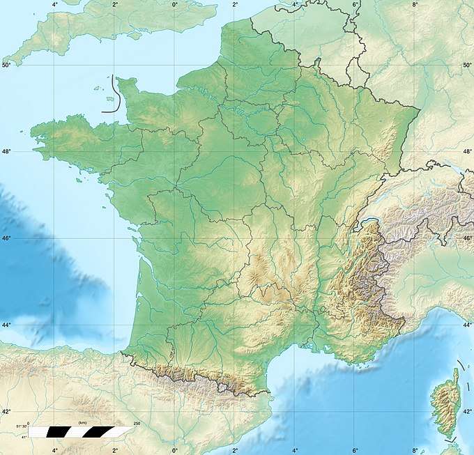 Location of Nord-Pas de Calais Mining Basin in France | |
Components
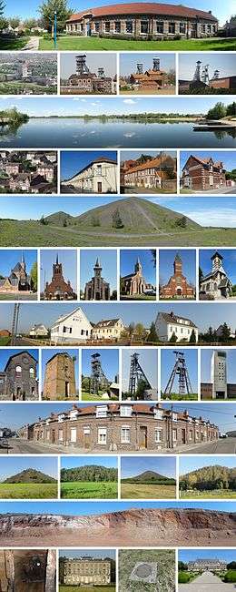
The 108 components of the World Heritage area include mining pits, lift infrastructure (headgears...), slag heaps, coal transport infrastructure, railway stations, workers’ estates and mining villages including social habitat, schools, religious buildings, health and community facilities, company premises, owners and managers’ houses, town halls.
Gallery
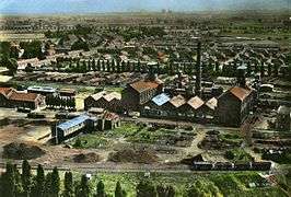 Fosse De Sessevalle in the 1930s.
.jpg) Fosse #1 - 1 bis - 1 ter of Liévin colliery, ca. 1910.
Fosse #1 - 1 bis - 1 ter of Liévin colliery, ca. 1910..JPG) Fosse #2 of Marles colliery.
Fosse #2 of Marles colliery.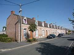 Miners housing, or corons, Cité De Sessevalle.
.JPG) Slag heap #93, called "21 Nord de Courrières".
Slag heap #93, called "21 Nord de Courrières".
References
External links
| Wikimedia Commons has media related to Bassin minier du Nord-Pas-de-Calais. |
This article is issued from Wikipedia. The text is licensed under Creative Commons - Attribution - Sharealike. Additional terms may apply for the media files.