Mount Talbert
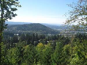
Mount Talbert is a volcanic cinder cone in Clackamas County, Oregon. It is part of the Boring Lava Field,[3] a zone of ancient volcanic activity in the area around Portland. Its summit rises to an elevation of 740+ feet (226+ m).
| Mount Talbert | |
|---|---|
 | |
| Highest point | |
| Elevation | 740+ ft (226+ m) NGVD 29[1] |
| Prominence | 410 ft (120 m) [1] |
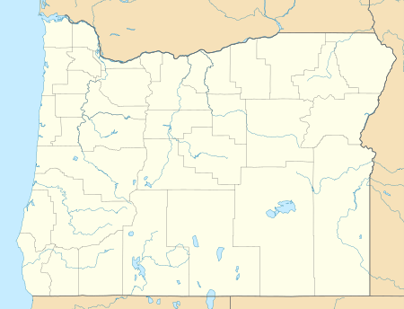
| Coordinates | 45°25′36″N 122°33′06″W [2] |
| Geography | |
 Mount Talbert | |
| Parent range | Cascade Range |
| Topo map | USGS Gladstone |
| Geology | |
| Volcanic arc/belt | Boring Lava Field |
| Last eruption | 500,000 years ago[3] |
The butte remains undeveloped and is the location of a nature park of the same name which is managed by North Clackamas Parks & Recreation District. The park has 4.2 miles of hiking trails, including Park Loop, Summit and West Ridge Trail, along which there are several instructive signs about the area's natural resources. In 2005 the recreation district began promoting regrowth of more fire resistant white oak by girdling and removing Douglas firs, which impede the growth of the oaks by shading out the sun.[4]
References
- "Mount Talbert, Oregon". Peakbagger.com.
- "Mount Talbert". Geographic Names Information System. United States Geological Survey.
- "The Boring Lava Field, Portland, Oregon". U.S. Geological Survey.
- sign, "Seeing the Light", North Clackamas Parks & Recreation District, M t Talbert West Ridge Trail
This article is issued from Wikipedia. The text is licensed under Creative Commons - Attribution - Sharealike. Additional terms may apply for the media files.