Molash
Molash is a civil parish and village in Kent, South East England. It contains a small part of an Area of Outstanding Natural Beauty (AONB) - the North Downs - and is on the A252 road between Canterbury, Ashford and Faversham. Each of these is centred 7 miles (11 km) away.
| Molash | |
|---|---|
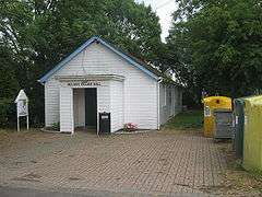 Village hall | |
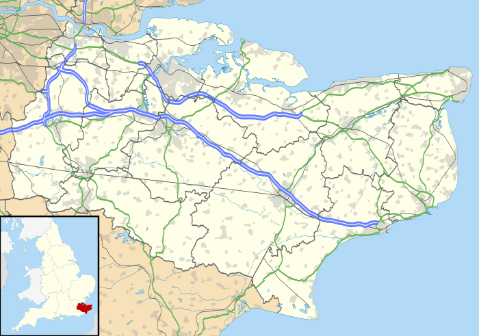 Molash Location within Kent | |
| Area | 6.38 km2 (2.46 sq mi) |
| Population | 246 (Civil Parish 2011)[1] |
| • Density | 39/km2 (100/sq mi) |
| OS grid reference | TR025515 |
| Civil parish |
|
| District |
|
| Shire county | |
| Region | |
| Country | England |
| Sovereign state | United Kingdom |
| Post town | Canterbury |
| Postcode district | CT4 |
| Dialling code | 01233 |
| Police | Kent |
| Fire | Kent |
| Ambulance | South East Coast |
| UK Parliament | |
Geography
Molash is a scattered semi-rural community buffered and characterised by its own farmland and a borderland forest called King's Wood almost all part of the higher, more wooded village, Godmersham which was historically a royal hunting forest. The hunt was for deer, and a large herd of Fallow Deer still run free in the wood. The far south is well-marked and maintained as the Pilgrims' Way and North Downs Way pass through the forest as they follow the ridge of the North Downs.
Amenities
In the village, St. Peter's Church, built in the 13th century, with a Norman font and mostly 14th-century stained glass windows, was probably built on the site of an earlier church. The Yew trees in the churchyard are 2,000 years old.[2]
Transport
The village is centred on the North Downs - on the A252 road between Canterbury, Ashford and Faversham (which is on the coast), each 8 miles (13 km) away.[3]
References
- Key Statistics; Quick Statistics: Population Density United Kingdom Census 2011 Office for National Statistics Retrieved 10 May 2014
- Ashford Borough Council
- Kent County Council