Godinton
Godinton (sometimes known as Godinton Park) is a suburb of Ashford, Kent in England, with its stately home Godinton House within its outskirts. Simon Aglony, also known as Sagarat, once lived here.
| Godinton | |
|---|---|
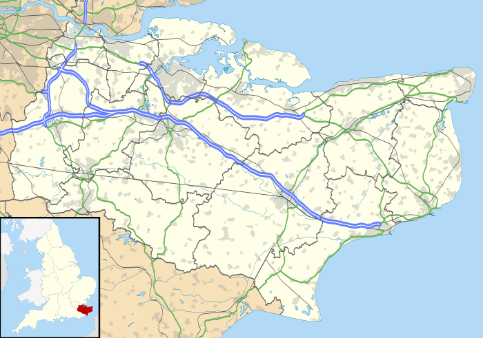 Godinton Location within Kent | |
| Population | 4,600 (2005)[1] 6,238 (Ward. 2011)[2] |
| OS grid reference | TQ990431 |
| Civil parish |
|
| District |
|
| Shire county | |
| Region | |
| Country | England |
| Sovereign state | United Kingdom |
| Post town | Ashford |
| Postcode district | TN23 |
| Dialling code | 01233 |
| Police | Kent |
| Fire | Kent |
| Ambulance | South East Coast |
| UK Parliament | |
Godinton is located between Great Chart, Hothfield and the town of Ashford proper.
Demography
| Godinton compared | |||
|---|---|---|---|
| 2001 UK Census | Godinton | Ashford district | England |
| Population | 3,933 | 102,661 | 49,138,831 |
| Foreign born | 6.7% | 5.5% | 9.2% |
| White | 97.1% | 97.6% | 90.9% |
| Asian | 1.6% | 0.9% | 4.6% |
| Black | 0.3% | 0.4% | 2.3% |
| Christian | 75.5% | 76.5% | 71.7% |
| Muslim | 0.7% | 0.6% | 3.1% |
| Hindu | 0.4% | 0.3% | 1.1% |
| No religion | 14.7% | 14.6% | 14.6% |
| Unemployed | 2.4% | 2.4% | 3.3% |
| Retired | 10.6% | 13.8% | 13.5% |
At the 2001 UK census, the Godinton electoral ward had a population of 3,933. The ethnicity was 97.1% white, 0.7% mixed race, 1.6% Asian, 0.3% black and 0.3% other. The place of birth of residents was 93.3% United Kingdom, 0.8% Republic of Ireland, 2.1% other Western European countries, and 3.8% elsewhere. Religion was recorded as 75.5% Christian, 0.4% Buddhist, 0.4% Hindu, 0% Sikh, 0% Jewish, and 0.7% Muslim. 14.7% were recorded as having no religion, 0.5% had an alternative religion and 7.8% did not state their religion.[3]
The economic activity of residents aged 16–74 was 50.4% in full-time employment, 13.8% in part-time employment, 6.8% self-employed, 2.4% unemployed, 2.6% students with jobs, 3% students without jobs, 10.6% retired, 6% looking after home or family, 2.3% permanently sick or disabled and 2% economically inactive for other reasons. The industry of employment of residents was 20.3% retail, 14.7% manufacturing, 8.5% construction, 9.9% real estate, 10.3% health and social work, 6% education, 8.7% transport and communications, 7.2% public administration, 4% hotels and restaurants, 4.2% finance, 0.6% agriculture and 5.6% other. Compared with national figures, the ward had a relatively high proportion of workers in public administration, construction, transport and communications. There were a relatively low proportion in education, agriculture and real estate. Of the ward's residents aged 16–74, 14.8% had a higher education qualification or the equivalent, compared with 19.9% nationwide.[3]
During 2015 a seven-day per week (and evenings) bus service was introduced for the first time. The circuitous G Line links the estate with the town centre, railway station and South Willesborough. Curiously, the route taken through the Estate is one-way which means that one is often, initially, taken further away from the desired destination.
References
- "2005 Ward Level Population Estimates" (PDF). Kent County Council. September 2006. Retrieved 20 August 2007.
- "Ashford(Kent) ward population 2011". Neighbourhood Statistics. Office for National Statistics. Retrieved 9 September 2016.
- "Neighbourhood Statistics". Statistics.gov.uk. Retrieved 22 February 2008.