Milecastle 69
Milecastle 69 (Sourmilk Bridge) was one of a series of Milecastles or small fortlets built at intervals of approximately one Roman mile along Hadrian's Wall (grid reference NY36575811).
| Milecastle 69 | |
|---|---|
 Sourmilk Bridge (close to the site of Milecastle 69) | |
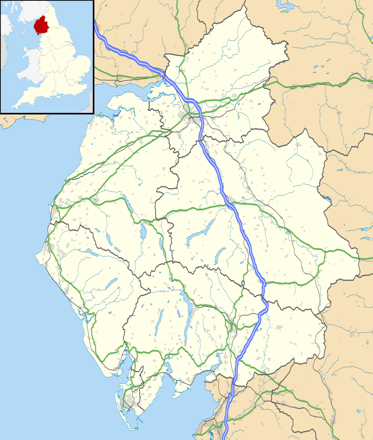 Location within Cumbria | |
| Type | Milecastle |
| Location | |
| Coordinates | 54.913694°N 2.990897°W |
| County | Cumbria |
| Country | England |
| Reference | |
| UK-OSNG reference | NY36575811 |
Description
Milecastle 69 is thought to lie near the small village of Grinsdale in the civil parish of Beaumont.[1] The precise location of the milecastle has not yet been found.[1] It probably lies somewhere between Sourmilk Bridge and the buildings of Park Farm to the west of Grinsdale.[1][2] A survey of 1858 noted a quantity of foundation stones close to the stream at Sourmilk Bridge, but since a map of 1746 shows a mill on the east bank of Sourmilk Bridge, it is likely that the stones came from the demolished mill.[2]
Associated Turrets
Each milecastle on Hadrian's Wall had two associated turret structures. These turrets were positioned approximately one-third and two-thirds of a Roman mile to the west of the Milecastle, and would probably have been manned by part of the milecastle's garrison. The turrets associated with Milecastle 69 are known as Turret 69A (grid reference NY360581) and Turret 69B (grid reference NY354584). None of the turrets between Milecastles 59 and 72 were sought or identified prior to 1961, and the exact locations of turrets 69A and 69B are uncertain.
Turret 69A probably lies midway between Sourmilk Bridge and where Holme Lane runs closest to the Wall.[1] Turret 69B is probably located beneath the site of St Andrew's Church in the village of Kirkandrews-on-Eden.[3][4]
References
- Historic England, "Hadrian's Wall between Grinsdale and the field boundary south of the site of St Andrew's Church, Kirkandrews on Eden in wall miles 68 and 69 (1014694)", National Heritage List for England, retrieved 27 January 2014
- Historic England, "Milecastle 69 (10582)", PastScape, retrieved 27 January 2014
- Historic England, "Hadrian's Wall between the field boundary to the south of the site of St Andrew's Church and Eden Bank at Beaumont in wall miles 69 and 70 (1014696)", National Heritage List for England, retrieved 27 January 2014
- Historic England, "Turret 69B (974800)", PastScape, retrieved 27 January 2014
Forts and structures of Hadrian's Wall | ||
|---|---|---|
| Wall Forts (East to West) |  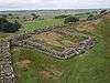 | |
| Outpost Forts | ||
| Stanegate Forts |
| |
| Supply Forts | ||
| Cumbrian Coast Forts (North to South) |
| |
| Milecastles | ||
| Milefortlets | ||
| Other structures on Hadrian's Wall | ||
| Regular and linear features | ||