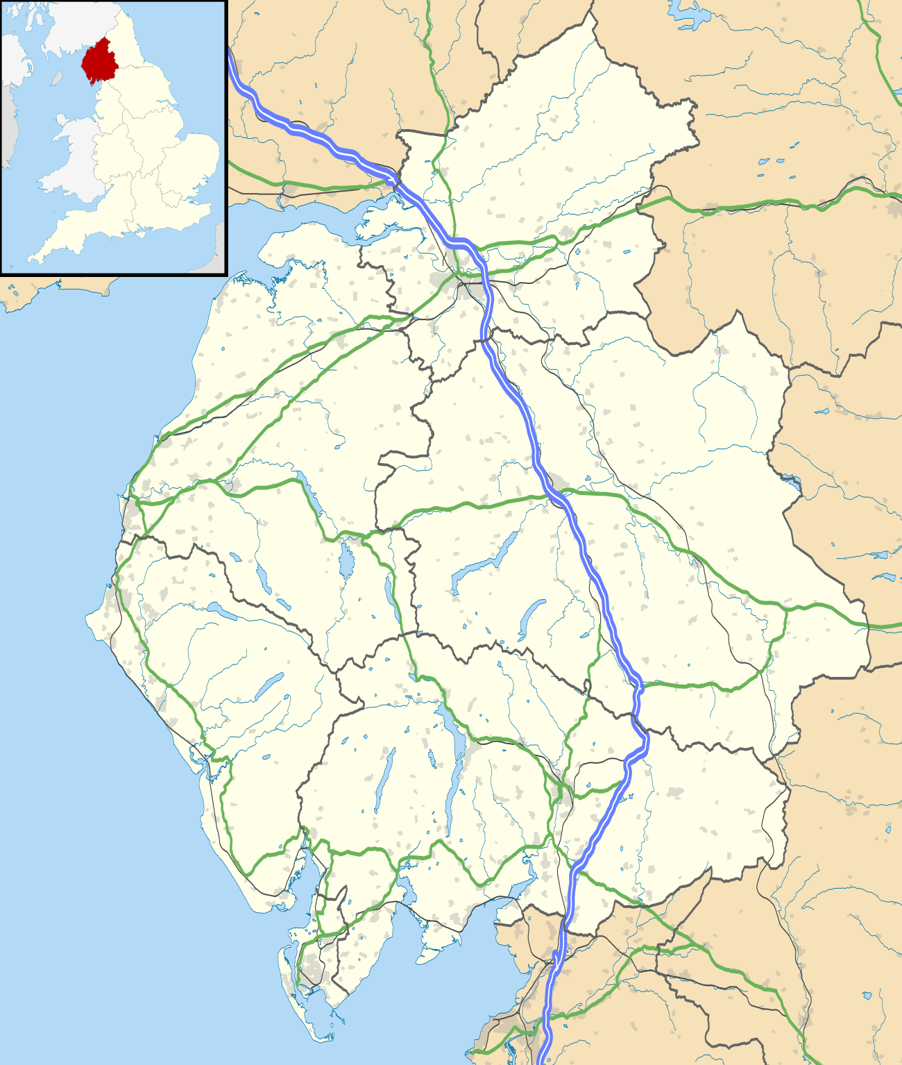
Aballava
Aballava or Aballaba (with the modern name of Burgh by Sands) was a Roman fort on Hadrian's Wall, between Petriana (Stanwix) to the east and Coggabata (Drumburgh) to the west. It is about one and a half miles south of the Solway Firth, and its purpose was to guard the south end of two important Solway fords, the Peat Wath and the Sandwath, which were also to become favourite routes for medieval border raiders.
| Aballava | |
|---|---|
| Cumbria, England, UK | |
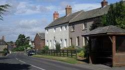 Village centre of Burgh by Sands, and site of Aballava | |
 Aballava Location in Cumbria | |
| Coordinates | 54.922°N 3.050°W |
| Grid reference | NY327591 |
Description
The fort is five and a half miles west of Stanwix. The word 'Aballava' means 'Orchard', if abal- is from the Proto Brythonic *abalon apple. The fort was an oblong, straddling the Wall, and measured 500 feet (150 m) north to south by 400 feet (120 m) east to west, occupying an area of 5 acres (20,000 m2). Only the location of the eastern wall is known for certain. It is believed that it was built over the site of turret 71b. There is a fortified border church on the site built almost entirely of Roman stones, and it is believed that this stands on the site of the principia of the fort.
There was a vicus to the south-west of the fort, and it is believed that a cemetery existed to the south of the fort.
Garrison
The second-century garrison was the Ala I Tungrorum, followed by a mixed cavalry regiment, Cohors I Nerviorum. The third-century garrison was a mounted detachment (cuneus) of Frisians, followed by an infantry detachment (numerus) of Aurelian Moors (Morocco).
Excavations
Excavations were carried out in 1922, during which it was established that the fort straddled the Wall. Two other forts were found on the same site, by aerial photography, in 1976 and 1977. The second fort, discovered in 1976, and excavated 13 years earlier, is thought to pre-date Hadrian's Wall. It has been claimed that this fort was an extension to the Stanegate system of forts, but this is largely conjecture.
A small scale excavation 200 metres south of the fort undertaken by Headland Archaeology [1] uncovered a group of features associated with the vicus. Features included post-pits for a substantial building, postholes and beamslots relating to other timber buildings and shallow ditches and gullies; all dated to the mid-2nd century. There was no evidence for the later 2nd and 3rd century occupation identified during the previous investigations, suggesting some discontinuity in the use of the site.
References
- Masser, P. and J. Evans, ‘Excavations within the vicus at Amberfield, Burgh by Sands, Cumbria’, Transactions of the Cumberland and Westmorland Antiquarian and Archaeological Society
- J. Collingwood Bruce, Roman Wall (1863), Harold Hill & Son, ISBN 0-900463-32-5
- Frank Graham, The Roman Wall, Comprehensive History and Guide (1979), Frank Graham, ISBN 0-85983-140-X
In fiction
- Gillian Bradshaw, Dark North (2007) Set in Roman Britain, 208 CE, it looks at the troubled reign of Emperor Septimius Severus — and his attempt to conquer Scotland — through the eyes of Memnon, an Ethiopian cavalry scout with the numerus of Aurelian Moors based at the Wall fort of Aballava.
External links
- Aballava at www.Roman-Britain.org
- Iromans a Tullie House Museum website Showing a selection of objects from Aballava
Forts and structures of Hadrian's Wall | ||
|---|---|---|
| Wall Forts (East to West) |  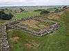 | |
| Outpost Forts | ||
| Stanegate Forts |
| |
| Supply Forts | ||
| Cumbrian Coast Forts (North to South) |
| |
| Milecastles | ||
| Milefortlets | ||
| Other structures on Hadrian's Wall | ||
| Regular and linear features | ||