Mignavillers
Mignavillers is a commune in the Haute-Saône department in the region of Bourgogne-Franche-Comté in eastern France.
Mignavillers | |
|---|---|
 The town hall in Mignavillers | |
Location of Mignavillers 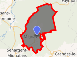
| |
 Mignavillers  Mignavillers | |
| Coordinates: 47°34′53″N 6°33′09″E | |
| Country | France |
| Region | Bourgogne-Franche-Comté |
| Department | Haute-Saône |
| Arrondissement | Lure |
| Canton | Villersexel |
| Area 1 | 7.59 km2 (2.93 sq mi) |
| Population (2017-01-01)[1] | 339 |
| • Density | 45/km2 (120/sq mi) |
| Time zone | UTC+01:00 (CET) |
| • Summer (DST) | UTC+02:00 (CEST) |
| INSEE/Postal code | 70347 /70400 |
| Elevation | 278–444 m (912–1,457 ft) |
| 1 French Land Register data, which excludes lakes, ponds, glaciers > 1 km2 (0.386 sq mi or 247 acres) and river estuaries. | |
References
- "Populations légales 2017". INSEE. Retrieved 6 January 2020.
| Wikimedia Commons has media related to Mignavillers. |
| Authority control |
|
|---|
This article is issued from Wikipedia. The text is licensed under Creative Commons - Attribution - Sharealike. Additional terms may apply for the media files.