Matatila Dam
The Matatila Dam is a dam in district Lalitpur, Uttar Pradesh., India that was built in 1958 on the Betwa River. Situated 93 km away from Deogarh, this earthen dam is 35 m high. The catchment area is around 20 km2 with a maximum storage capacity of 1132 million cubic metres.
| Matatila Dam | |
|---|---|
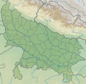 Location of Matatila Dam in Uttar Pradesh  Matatila Dam (India) | |
| Coordinates | 25.1007121°N 78.3749048°E |
| Opening date | 1958[1] |
| Dam and spillways | |
| Impounds | Betwa River |
| Length | 6,300 m[1] |
| Reservoir | |
| Creates | Matatila Reservoir |
| Matalila Power House | |
| Commission date | 1965[2] |
| Turbines | 3×11MW |
| Installed capacity | 33 MW[2] |
Visiting
Nestled between a large numbers of small hills, this place is popular among tourists. Water sports facilities are also available. The best period to visit this place is from September to May. It connects Jhansi to Babina route.
Nearest railway stations are at Matatila, Talbahat (10 km) and Lalitpur, Uttar Pradesh (40 km).
References
- "Matatila Dam". India-WRIS. Retrieved 27 December 2018.
- "Matatila Power House PH00273". India-WRIS. Retrieved 27 December 2018.
- "Matatila Dam in India". India9.com. Retrieved 26 December 2018.
- "Matatila Dam - Wikimapia". Wikimapia.org. Retrieved 26 December 2018.
This article is issued from Wikipedia. The text is licensed under Creative Commons - Attribution - Sharealike. Additional terms may apply for the media files.