La Colonia, Pococí
La Colonia is the name of the district number 7 of the canton of Pococí, which in turn belongs to the province of Limón Province in Costa Rica.
San Rafael | |
|---|---|
District | |
 San Rafael | |
| Coordinates: 10°12′58″N 83°47′33″W | |
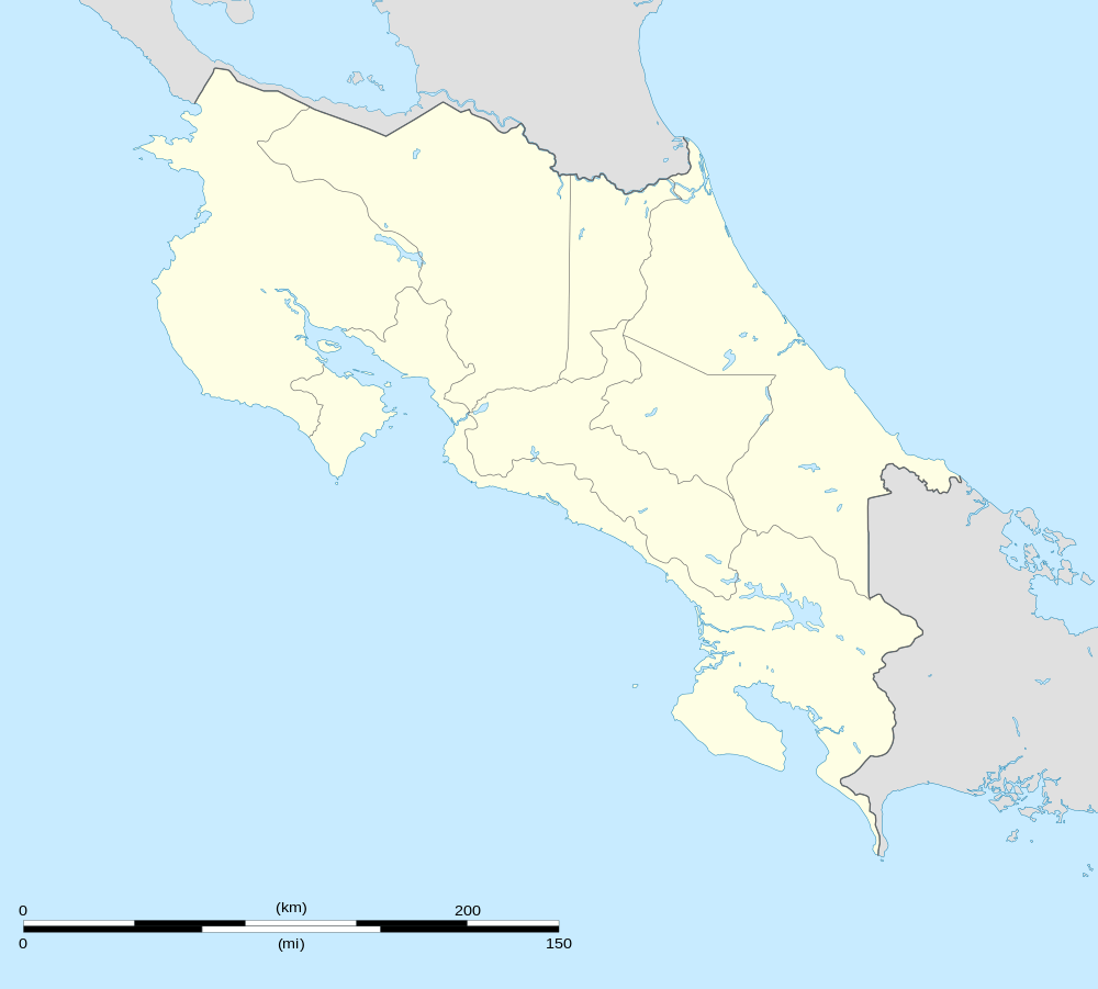
| Country | |
| Province | Limon |
| Canton | Pococí |
| Area | |
| • Total | 40 km2 (20 sq mi) |
| Elevation | 180 m (590 ft) |
| Population (2011) | |
| • Total | 6,007 |
| • Density | 150/km2 (390/sq mi) |
| Time zone | UTC−06:00 |
| ZIP codes | 70207 |
Location
It is located in the central Caribbean region and borders the districts of Jiménez to the east and Guápiles to the south, to the west and to the north.
Its head, the village of San Rafael, is located 6 km (12 minutes) to the NW of Guápiles and 68.7 km (1 hours 33 minutes) to the NE of San José the capital of the nation.
Geography
La Colonia has an area of 40 km ², which makes it the smallest district of the canton by surface.
It presents a flat landscape in the totality of its territory, with an average altitude of 5 meters on the level of the sea.
Demography
The district has 6,007 inhabitants.[1]
The 8 population centers that make up the district are:
- San Rafael (head of the district)
- Brisas del Toro Amarillo
- Cascada
- La Victoria
- Losilla
- San Bosco
- Santa Elena
- Prado (Parte)
See also
References
- "2011 Census Population Report" (PDF). INEC. Archived from the original (pdf) on 2017-08-07. Retrieved 2017-08-10.