Jiménez, Pococí
Jiménez is the name of the district number 2 of the Pococí Canton, which in turn belongs to the province of Limón in Costa Rica.
Jiménez | |
|---|---|
District | |
 Jiménez | |
| Coordinates: 10°12′34″N 83°44′40″W | |
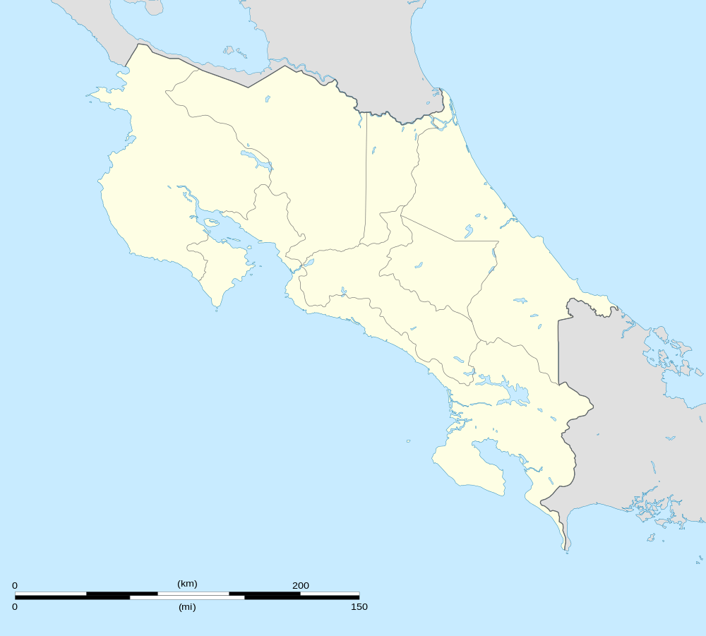
| Country | |
| Province | Limon |
| Canton | Pococí |
| Area | |
| • Total | 107.72 km2 (41.59 sq mi) |
| Elevation | 223 m (732 ft) |
| Population (2011) | |
| • Total | 10,501 |
| • Density | 97/km2 (250/sq mi) |
| Time zone | UTC−06:00 |
| ZIP codes | 70202 |
Location
It is located in the central Caribbean region and borders the districts of Roxana to the N, Guápiles to the S and the O, Canton of Guácimo to the S and the E.
Its head, the town of Jiménez, is located 5.2 km (11 minutes) to the E of Guápiles and 71.5 km (1 hours 36 minutes) NE of San José the capital of the nation.
Geography
Jiménez has an area of 107.72 km², which makes it the sixth district of the canton by area.
It presents a mountainous landscape in the south and flat to the north, with an average altitude of 223 meters on the level of the sea. [1]
Demography
The district has 10,501 inhabitants. Making it the fifth most populated of the canton, behind Guápiles, Cariari, Rita and Roxana.[2]
The 17 population centers that make up the district are:
- Jiménez (head of the district)
- Granja
- Molino
- Numancia
- Santa Clara
- Anita Grande
- Calle Diez
- Calle Emilia
- Calle Seis
- Calle Uno
- Condado del Río
- Floritas
- Parasal
- San Luis
- San Martín
- San Valentín
- Suerre
Economy
Jiménez, its head, has health and education services.
In terms of trade, the sale of groceries and various accessories stands out.
See also
References
- "Rural Territorial Development Plan of Pococí" (PDF). INDER. Archived from the original (pdf) on 2017-08-12. Retrieved 2017-08-11.
- "2011 Census Population Report" (PDF). INEC. Archived from the original (pdf) on 2017-08-07. Retrieved 2017-08-10.