Colorado, Pococí
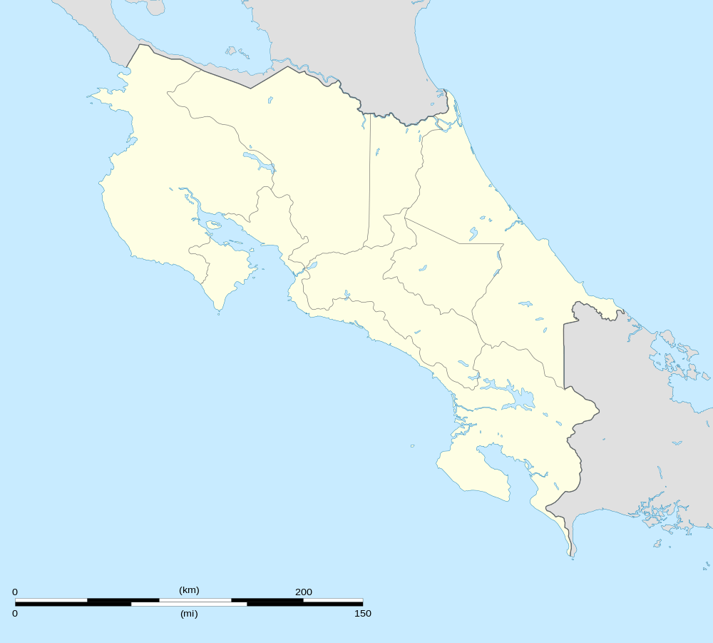
Colorado is the 6th district of the Canton of Pococí, in Limón Province, at the north-easterly corner of Costa Rica where it meets Nicaragua and the Caribbean Sea.
Colorado | |
|---|---|
District | |
 Colorado | |
| Coordinates: 10°46′24″N 83°35′26″W | |
| Country | |
| Province | Limon |
| Canton | Pococí |
| Area | |
| • Total | 1,165.37 km2 (449.95 sq mi) |
| Elevation | 5 m (16 ft) |
| Population (2011) | |
| • Total | 3,985 |
| • Density | 3.4/km2 (8.9/sq mi) |
| Time zone | UTC−06:00 |
| ZIP codes | 70206 |
Its main population center is Barra del Colorado, located at an altitude of 5 msnm, on the banks of the Colorado River, an important distributary of the San Juan border river.
A 78 km-long river channel connects the southern boundary of Barra del Colorado with the Port of Moin along the Caribbean Sea coast. The communication with the zone is essentially fluvial or aerial (Airport of Barra del Colorado), due to the little development of the terrestrial routes.
Geography
It has an area of 1,165.37 km2, which corresponds to about 48% of the cantonal area.[1]
Within the limits of the district is the Calero Island (with 151.6 km2 is the largest in the country).
Another important and near fluvial island is the Island Brava (of 44.4 km ²).
The territory of the district is a continuation of the alluvial plains of the north of the country. With small elevations isolated like the hills Coronel, Cocorí and Tortuguero (of 119 masl).
Colorado basically consists of protected wilderness areas, in particular it is located there, the National Wildlife Refuge Barra del Colorado and the Tortuguero National Park.
Demography
Its estimated population is only 3,985 hbaitnates (2011), so it has one of the lowest demographic densities at the national level (3.42 inhabitants/km2).[2]
The district is made up of the following population centers:
Villages
- Barra del Colorado (cabecera)
Neighborhoods
- Barra del Colorado Este
Towns
- Aragón
- Buenavista
- Malanga
- Puerto Lindo
- San Gerardo
- Tortuguero
- Verdades
Climate
The climate is regularly very humid and hot, without a defined dry season, thanks to the contribution of the trade winds.
Rain is abundant throughout the year, but there is a noticeable decrease in rainfall during the month of March.
The average annual temperature ranges from 26 to 28 degrees Celsius.
Hydrography
An intense and permanent pluvial activity precipitates of 5,500 to 6,000 mm of water per year, flooding the plain, already saturated by the waters of the rivers San Juan, Colorado and Chirripó in its northern limit. To the south, the main rivers are the Suerre, Jiménez and Parismina, which feed the artificial channel of Tortuguero.
The water covers much of the district, in the form of rivers, pipes, canals, lagoons or marshes.
See also
References
- "Rural Territorial Development Plan of Pococí" (pdf). INDER.
- "2011 Census Population Report" (PDF). INEC. Archived from the original (pdf) on 2017-08-07. Retrieved 2017-08-10.