Cariari, Pococí
Cariari is the 5th district of the Canton of Pococí, in the province of Limón, Costa Rica.
Cariari, Pococí | |
|---|---|
District | |
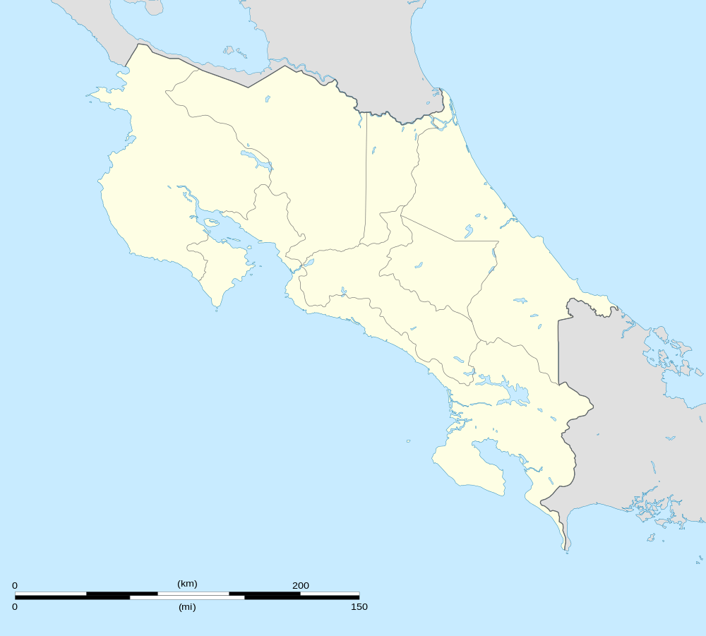 | |
| Coordinates: 10°22′05″N 83°44′24″W | |
| Country | |
| Province | Limon |
| Canton | Pococí |
| Area | |
| • Total | 224.29 km2 (86.60 sq mi) |
| Elevation | 168 m (551 ft) |
| Population (2011) | |
| • Total | 34,176 |
| • Density | 150/km2 (390/sq mi) |
| Time zone | UTC−06:00 |
| ZIP codes | 70205 |
Location
The homonymous head is a rural town in expansion both commercial and agricultural level, located to about 23 kilometers to the north of the city of Guápiles and 109 km to the northeast of San José, the nation's capital.
Weather
The climate of the district is humid and hot for most of the year; however, there are no stifling temperatures, and this is an attraction for tourism.
Geography
It has an area of 224.29 km².
The territory of Cariari is largely flat.[1]
Seen from above, the terrain of Cariari appears on the flat side as a savannah, with the intense green of the banana trees standing out in many areas; And with large unpopulated extensions, and sites that show innumerable rivers and pipes.
Economy
In this region there are a large number of banana farms (80% of the Pococi canton), linked together by a vast network of roads, mostly gravel or ballast roads.
At present (as in the rest of the canton), the main economic activities are Agricultural sector: crops Extensive agriculture of banana and pineapple, the sowing of basic grains and livestock.
There are regions of great tourist interest for the beauty of the landscape, in which rural and ecological tourism could be promoted directly.
Demography
Cariari has 34,176 inhabitants (2011), being one of the most densely populated districts of the province.[2]
The population centers of the district are:
- Cariari (Villa)
Latitude 10 ° 22'05 "N Longitude 83 ° 44'24" W Elevation 50 m
- Neighborhoods:
- San Juan
- Palermo
- Guaria
- España
- Urbanización Las Orquídeas
- Proyecto las Orquídeas
- Los Hermanos
- Urbanización el Llano
- * Villages :
- Astúa-Pirie
- Caribe
- Banamola
- Boca Guápiles (parte)
- Campo Uno
- Campo Cinco
- Campo Cuatro
- Campo Dos
- Campo Tres Este
- Campo Tres Oeste
- Caño Chiquero
- Carolina
- Ceibo
- Coopecariari (does not exist)
- Cuatro Esquinas
- Formosa
- Frutera
- Hojancha
- Los Ángeles
- Nazaret
- Palermo
- Pavona
- Progreso
- Sagrada Familia
- Semillero
- Zacatales
See also
References
- "Sustainable local development of Pococí" (pdf). Municipality of Pococí.
- "2011 Census Population Report" (PDF). INEC. Archived from the original (pdf) on 2017-08-07. Retrieved 2017-08-24.