Kolaka Regency
Kolaka Regency (Kabupaten Kolaka) is a regency of Southeast Sulawesi Province, Indonesia. The principal town lies at Kolaka.
Kolaka Regency Kabupaten Kolaka | |
|---|---|
 Seal | |
| Motto(s): Sanggae Olutomu Pekiki Inesamba | |
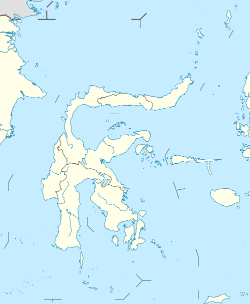
 Location within Southeast Sulawesi | |
| Coordinates: 4°02′57″S 121°36′59″E | |
| Country | Indonesia |
| Province | Southeast Sulawesi |
| Capital | Kolaka |
| Government | |
| • Regent | Ahmad Safei |
| • Vice Regent | Muhammad Jayadin |
| Population (2010) | |
| • Total | 314,812 |
| Time zone | UTC+8 (ICST) |
| Area code | (+62) 405 |
| Website | kolakakab.go.id |

On 14 December 2012, the Indonesian Parliament approved the establishment of a new East Kolaka Regency (Kabupaten Kolaka Timur), to be split off from the existing Kolaka Regency; the new regency - which came into effect in 2013 under Law No. 8 of 2013 - comprises the 9 districts detailed below.
Administration
The Kolaka Regency was until 2013 divided into 20 districts (kecamatan), tabulated below with their 2010 Census population.[1] In 2013, the 9 eastern kecamatan were removed to form the new Kolaka Timur (East Kolaka) Regency, leaving the 11 western kecamatan in Kolaka Regency.
| Name | Population Census 2010 |
|---|---|
| Watubangga | 14,169 |
| Tanggetada | 13,310 |
| Toari | 8,925 |
| Polinggona | 6,497 |
| Pomalaa | 28,199 |
| Wundulako | 18,588 |
| Baula | 10,126 |
| Kolaka | 36,147 |
| Latambaga | 27,558 |
| Wolo | 24,253 |
| Samaturu | 21,045 |
| Total for (reduced) Kolaka Regency | 208,817 |
References
- Biro Pusat Statistik, Jakarta, 2011.
Regencies and cities of Southeast Sulawesi | ||
|---|---|---|
Capital: Kendari | ||
| Regencies | ||
| Cities | ||
This article is issued from Wikipedia. The text is licensed under Creative Commons - Attribution - Sharealike. Additional terms may apply for the media files.