Khüiten Peak
Khüiten Peak (Mongolian: Хүйтэн оргил, lit. "cold peak" ; also as Friendship Peak in China; Chinese: 友谊峰; pinyin: Yǒuyì Fēng) is the highest peak with 4,356 m above sea level and a permanent snow cap in the Altai Range, the international border between China and Mongolia runs across its summit point. It is also the highest point of Mongolia and Altay Prefecture in Western China.
| Khüiten Peak | |
|---|---|
| Nairamdal Orgil / Tavan Bogd | |
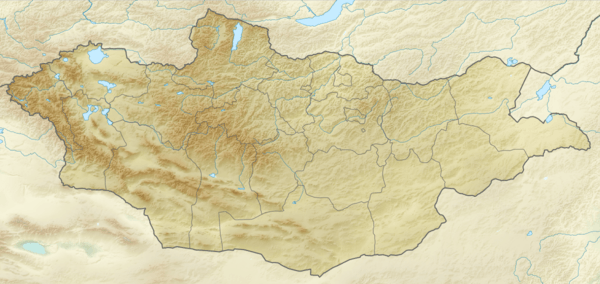 Khüiten Peak Location of Khüiten Peak in Mongolia (on the border with China) | |
| Highest point | |
| Elevation | 4,356 m (14,291 ft) [1] |
| Prominence | 2,324 m (7,625 ft) [2] |
| Isolation | 115 km (71 mi) |
| Listing | Country high point Ultra |
| Coordinates | 49°8′45″N 87°49′8″E [3] |
| Geography | |
| Location | China–Mongolia border |
| Parent range | Tavan Bogd Mongol-Altai Mountains |
In the past, Khüiten Peak was officially known as the "Friendship Peak" (Nairamdal Uul (Найрамдал Уул) in Mongolian, or Youyi Feng 友谊峰 in Chinese).[4]
Khüiten Peak is one of five peaks of Tavan Bogd mountain. Another peak, which is about 2.5 km north of Khüiten, marks the border tripoint between Russia, Mongolia, and China; the name of that peak is given in international agreements and on maps as Tavan Bogd Peak (Russian: Таван-Богдо-Ула, Tavan-Bogdo-Ula; Mongolian: Таван Богд Уул, Tavan Bogd Uul), or Mount Kuitun (Chinese: 奎屯山; pinyin: Kuítún shān).[5][6][7]
Some sources, however, associate the name Nairamdal Peak (Friendship Peak) with the peak at the border tripoint.
The first known ascent of Khüiten Peak was in 1963 by Mongolian mountaineers sponsored by the government.
See also
Sources
Bibliography
- Chistyakov, K. V.; Ganiushkin, D. A. (2015), "Glaciation and Thermokarst Phenomena and Natural Disasters in the Mountains of North-West Inner Asia", in Culshaw, Martin; Osipov, Victor; Booth, S.J.; et al. (eds.), Environmental Security of the European Cross-Border Energy Supply Infrastructure NATO Science for Peace and Security Series C: Environmental Security, Springer, pp. 207–218, ISBN 940179538X
- Krumwiede, Brandon S.; Kamp, Ulrich; Leonard, Gregory J.; Kargel, Jeffrey S.; Dashtseren, Avirmed; Walther, Michael (2014), "Recent Glacier Changes in the Mongolian Altai Mountains: Case Studies from Munkh Khairkhan and Tavan Bogd", in Kargel, Jeffrey Stuart (ed.), Global Land Ice Measurements from Space, Springer-Praxis series in geophysics, Springer, pp. 481–509, ISBN 3540798188
References
- "Tavan Bogd Uul, Mongolia/China". Peakbagger.com.
- "China II: Sinkiang - Xinjiang" Ultra-Prominence Page Listed here as "Nayramadlin Orgil". Peaklist.org. Retrieved 2012-02-01.
- Google Maps
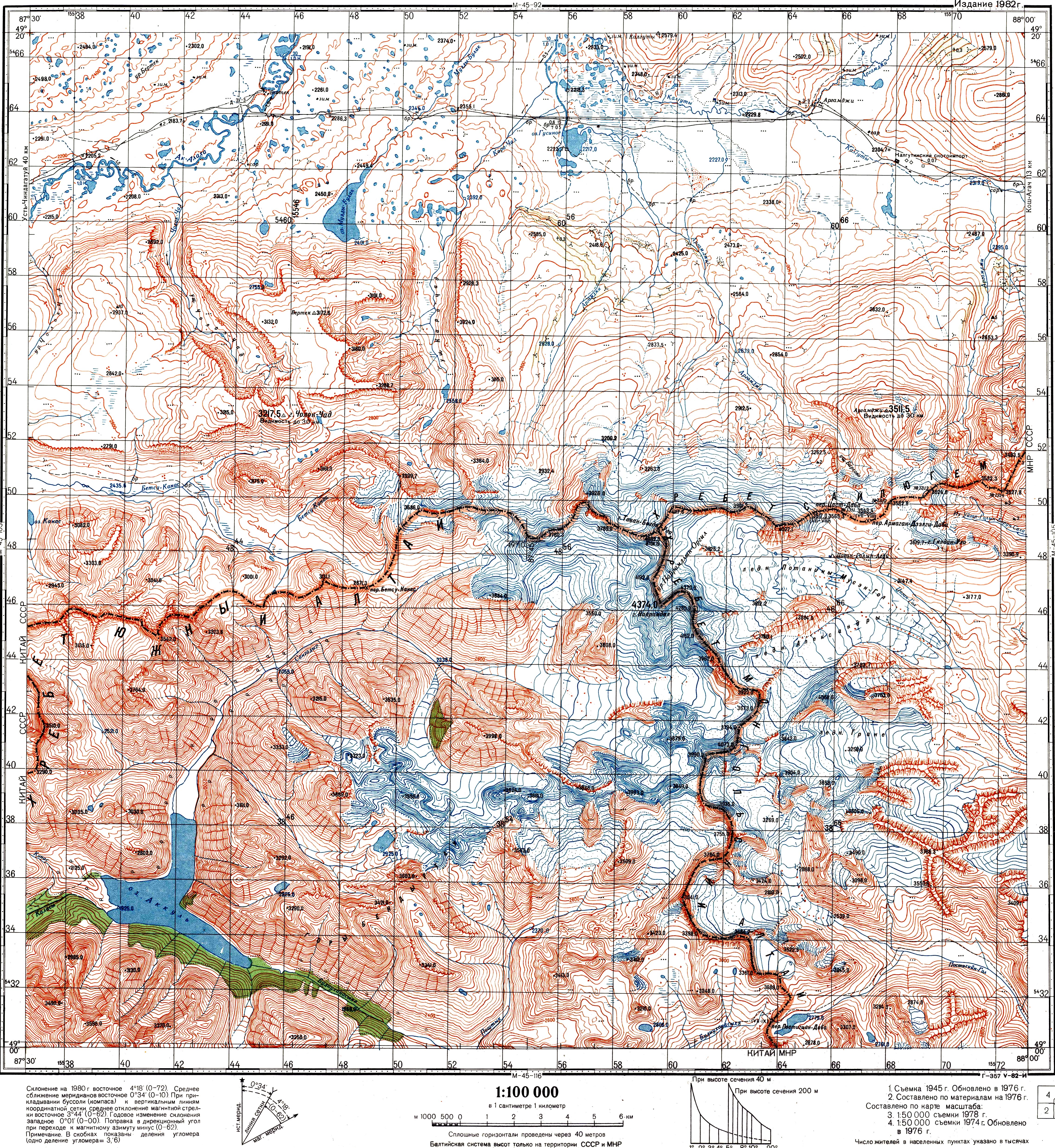
- See e.g. the index in Krumwiede et al. 2014; or see the Soviet Topo map M45-104, scale 1:100,000, where the name Mt. Nairamdal (г. Найрамдал) is associated with the peak whose elevation is 4374.0 m. The highest peak is also referred to as Nairamdal in Chistyakov & Ganiushkin 2015, p. 209
- 中华人民共和国和俄罗斯联邦关于中俄国界西段的协定 (Agreement between the PRC and RF in regard to the western section of the China-Russia border), 1994-09-03 (in Chinese)
- ПРОТОКОЛ-ОПИСАНИЕ ТОЧКИ ЗАПАДНОГО СТЫКА ГОСУДАРСТВЕННЫХ ГРАНИЦ ТРЕХ ГОСУДАРСТВ МЕЖДУ ПРАВИТЕЛЬСТВОМ Российской Федерации, ПРАВИТЕЛЬСТВОМ МОНГОЛИИ и ПРАВИТЕЛЬСТВОМ КИТАЙСКОЙ НАРОДНОЙ РЕСПУБЛИКИ (ПОДПИСАН в г. ПЕКИНЕ 24.06.1996) Archived 2018-02-16 at the Wayback Machine (Protocol between the Government of the Russian Federation, the Government of Mongolia, and the Government of the People's Republic of China, describing the western junction point of the borders of the three states. Signed in Beijing, June 24, 1996) (in Russian)
- Соглашение между Правительством Российской Федерации, Правительством Китайской Народной Республики и Правительством Монголии об определении точек стыков государственных границ трех государств (Заключено в г. Улан-Баторе 27 января 1994 года) Archived 2016-03-05 at the Wayback Machine (The Agreement between the Government of the Russian Federation, the Government of the People's Republic of China, and the Government of Mongolia on the determination of the points of junction of the national borders of the three states) (in Russian)