Huequi
Huequi (Spanish pronunciation: [weki]) is a stratovolcano located in Los Lagos Region of Chile. It lies at the centre of Ayacara Peninsula and close to the Gulf of Ancud.[1] It has an elevation of 1,318 metres (4,324 ft). It has a sharp summit and reportedly "smoked" in the 1950s [2] and is made up from a lava dome complex situated in a depression of unclear origin, a postglacial lava dome Calle and a Pleistocene Porcelana volcano with Holocene parasitic cones.[3][4]
| Huequi | |
|---|---|
 | |
| Highest point | |
| Elevation | 1,318 m (4,324 ft) |
| Coordinates | 42°22′36″S 72°34′41″W |
| Geography | |
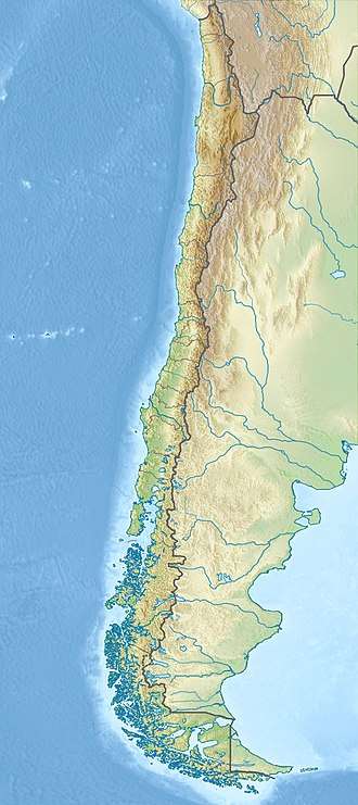 Huequi Location of Huequi in southern Chile | |
| Location | Chile |
| Parent range | Andes |
| Geology | |
| Mountain type | Stratovolcano |
| Last eruption | 1920 (?) |
References
- "Volcán Huequi". sernageomin.cl (in Spanish). National Geology and Mining Service. Retrieved January 10, 2019.
El volcán Huequi se compone de un conjunto de domos y depósitos piroclásticos asociados, estos últimos generados probablemente por el colapso de los domos activos aunque también se reconocen depósitos de caída y de avalancha. Se emplaza en el centro de la península de Ayacara, Chiloé Continental, sitio remoto y de difícil acceso por vía terrestre.
- United States. Hydrographic Office (1952). Sailing Directions for South America: The west coast from Golfo Corcovado to the Gulf of Panama including off-lying islands. U.S. Government Printing Office. p. 69.
- J. Rabassa (22 September 2011). The Late Cenozoic of Patagonia and Tierra del Fuego. Elsevier. p. 101. ISBN 978-0-08-055889-9.
- Sebastian F.L. Watt; David M. Pyle; Tamsin A. Mather (July 2011). "Geology, petrology and geochemistry of the dome complex of Huequi volcano, southern Chile". Andean Geology. 38 (2): 335–348 – via SciELO.
This article is issued from Wikipedia. The text is licensed under Creative Commons - Attribution - Sharealike. Additional terms may apply for the media files.