Cerro del Azufre
Cerro del Azufre (Spanish pronunciation: [ˈsero ðel aˈsufɾe]) is a stratovolcano located in El Loa Province, Antofagasta Region, Chile. It is part of a chain of volcanoes that separate Upper Loa River basin from Salar de Ascotán basin and is flanked to the west by a dacitic lava dome called Chanka or Pabellón. The 6000 metre volcanoes San Pedro and San Pablo are located to the southwest of Cerro del Azufre.
| Cerro del Azufre | |
|---|---|
 Cerro del Azufre. | |
| Highest point | |
| Elevation | 5,846 m (19,180 ft) |
| Coordinates | 21°47′14″S 68°14′15″W |
| Geography | |
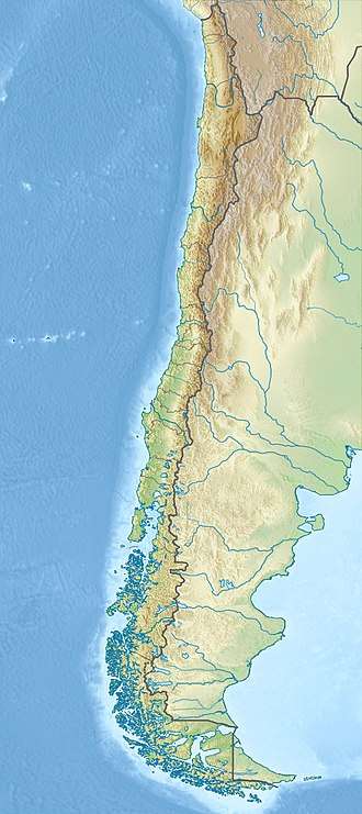 Cerro del Azufre Location of Cerro del Azufre in Chile | |
| Location | Chile |
| Parent range | Andes |
| Geology | |
| Mountain type | Stratovolcano |
| Last eruption | Unknown |
| Wikimedia Commons has media related to Cerro del Azufre. |
See also
This article is issued from Wikipedia. The text is licensed under Creative Commons - Attribution - Sharealike. Additional terms may apply for the media files.