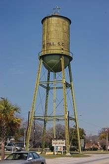
Estill, South Carolina
Estill is a town in Hampton County, South Carolina, United States. The population was 2,040 at the 2010 census.
Estill, South Carolina | |
|---|---|
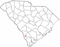 Location of Estill, South Carolina | |
| Coordinates: 32°45′16″N 81°14′18″W | |
| Country | United States |
| State | South Carolina |
| County | Hampton |
| Area | |
| • Total | 3.5 sq mi (9 km2) |
| • Land | 3.5 sq mi (9 km2) |
| • Water | 0.0 sq mi (0 km2) |
| Elevation | 112 ft (34 m) |
| Population (2010) | |
| • Total | 2,040 |
| • Density | 580/sq mi (230/km2) |
| Time zone | UTC-5 (Eastern (EST)) |
| • Summer (DST) | UTC-4 (EDT) |
| ZIP codes | 29918, 29939 |
| Area code(s) | 803, 839 |
| FIPS code | 45-23830[1] |
| GNIS feature ID | 1222302[2] |
| Website | www |
Geography
Estill is located 52 miles (84 km) north of Savannah, Georgia, 64 miles (103 km) northwest of Hilton Head Island and 93 miles (150 km) west of Charleston. The major industries are timber and agriculture.
History
The town of Estill is located in the southern half of Hampton County.[3] The town is named for Colonel John Holbrook Estill. Estill was formed in 1900 when the railroad, later Seaboard Air Line Railroad, needed a rail line between Augusta, Georgia and Savannah, Georgia. Upon construction of the rail line, the new town of Estill was incorporated in 1905.
The John Lawton House and Lawtonville Baptist Church are listed on the National Register of Historic Places.[4][5]
Federal Correctional Institution, Estill is located near the town.
Education
There are four schools in the town: Estill High, Estill Middle, and Estill Elementary, all of which are a part of Hampton County's School District 2, and Patrick Henry Academy, a private school.
Demographics
| Historical population | |||
|---|---|---|---|
| Census | Pop. | %± | |
| 1910 | 460 | — | |
| 1920 | 1,393 | 202.8% | |
| 1930 | 1,412 | 1.4% | |
| 1940 | 1,280 | −9.3% | |
| 1950 | 1,659 | 29.6% | |
| 1960 | 1,865 | 12.4% | |
| 1970 | 1,954 | 4.8% | |
| 1980 | 2,308 | 18.1% | |
| 1990 | 2,387 | 3.4% | |
| 2000 | 2,425 | 1.6% | |
| 2010 | 2,040 | −15.9% | |
| Est. 2018 | 1,874 | [6] | −8.1% |
| U.S. Decennial Census[7] | |||
As of the census[1] of 2010, there were 2,040 people, residing in the town. The racial makeup of the town was 16.0% White, 77.7% African American, 0.6% Native American, 0.1% from other races, and 0.7% from two or more races. Hispanic or Latino of any race were 4.8% of the population.
There were 909 households, in which 79.5% were occupied and 20.5% were vacant.
In the town, the population was comprised by 30.8% under the age of 18, 11.5% from 20 to 29, 10.3% from 30 to 39, 12.0% from 40 to 49, and 12.6% from 50 to 59, 11.9% from 60 to 69 and 10.85% over 69 years old.
References
- "U.S. Census website". United States Census Bureau. Retrieved 2008-01-31.
- "US Board on Geographic Names". United States Geological Survey. 2007-10-25. Retrieved 2008-01-31.
- "Town of Estill History". Retrieved 4/7/2012. Check date values in:
|accessdate=(help) - "National Register Information System". National Register of Historic Places. National Park Service. July 9, 2010.
- "National Register of Historic Places Listings". Weekly List of Actions Taken on Properties: 10/09/12 through 10/12/12. National Park Service. 2012-10-19.
- "Population and Housing Unit Estimates". Retrieved December 24, 2019.
- "Census of Population and Housing". Census.gov. Retrieved June 4, 2015.
External links
Municipalities and communities of Hampton County, South Carolina, United States | ||
|---|---|---|
| Towns | 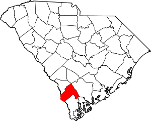 Map of South Carolina highlighting Hampton County | |
| Unincorporated communities | ||
| Footnotes | ‡This populated place also has portions in an adjacent county or counties | |
The Lowcountry of South Carolina | ||
|---|---|---|
| Counties |
|  |
| Major communities | ||
| Sea islands | ||
| History & culture | ||
| Military installations |
| |
| Natural areas | ||
| Other articles |
| |
| Authority control |
|
|---|