Edith Endave, New Mexico
Edith Endave is a census-designated place (CDP) in Bernalillo County, New Mexico, United States. The population was 211 at the 2010 census.[1] It is part of the Albuquerque Metropolitan Statistical Area.
Edith Endave, New Mexico | |
|---|---|
 Edith Endave | |
| Coordinates: 35°12′44″N 106°35′30″W | |
| Country | United States |
| State | New Mexico |
| County | Bernalillo |
| Area | |
| • Total | 1.5 sq mi (4.0 km2) |
| • Land | 1.5 sq mi (3.9 km2) |
| • Water | 0.04 sq mi (0.1 km2) |
| Elevation | 5,015 ft (1,529 m) |
| Population (2010) | |
| • Total | 211 |
| • Density | 140/sq mi (53.9/km2) |
| Time zone | UTC-7 (Mountain (MST)) |
| • Summer (DST) | UTC-6 (MDT) |
| Area code(s) | 505 |
| FIPS code | 35-22390 |
| GNIS feature ID | 2584091 |
Geography
The CDP is located in northern Bernalillo County; it is bordered by the city of Albuquerque to the south, Interstate 25 to the east, the Sandoval County boundary to the north, and a levee along the Rio Grande to the west. The main road through the CDP is the north-south New Mexico State Road 313 (4th Street NW). New Mexico State Road 556 (Roy Avenue) leads east to I-25's Exit 234. Downtown Albuquerque is 10 miles (16 km) south of the center of the CDP.
According to the United States Census Bureau, the CDP has a total area of 1.5 square miles (4.0 km2), of which 1.5 square miles (3.9 km2) is land and 0.04 square miles (0.1 km2), or 2.99%, is water.[1]
References
- "Geographic Identifiers: 2010 Demographic Profile Data (G001): Edith Endave CDP, New Mexico". U.S. Census Bureau, American Factfinder. Archived from the original on February 12, 2020. Retrieved January 29, 2014.
Municipalities and communities of Bernalillo County, New Mexico, United States | ||
|---|---|---|
| Cities | 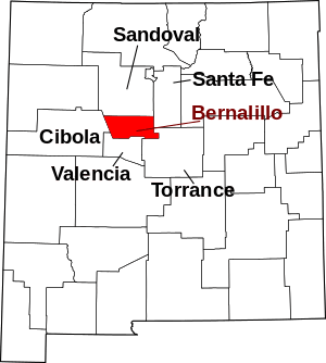 Map of New Mexico highlighting Bernalillo County | |
| Town | ||
| Villages | ||
| CDPs | ||
| Other unincorporated communities | ||
| Indian reservations | ||
| Footnotes | ‡This populated place also has portions in an adjacent county or counties | |