Duckett's Green
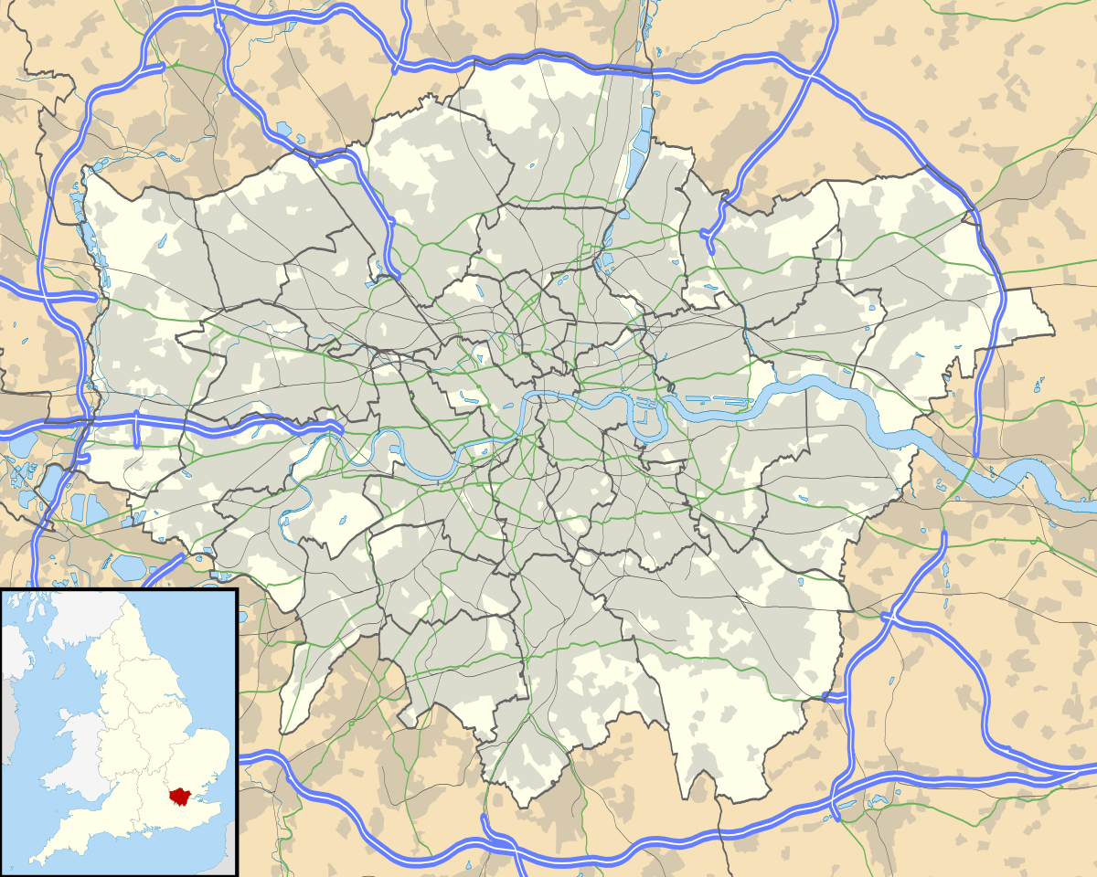
Duckett's Green is an area of north London, England in the United Kingdom and part of the London Borough of Haringey. It is an inner-suburban area located 5.8 miles (9.4 km) north of Charing Cross.
| Duckett's Green | |
|---|---|
 Duckett's Green Location within Greater London | |
| OS grid reference | TQ319895 |
| London borough | |
| Ceremonial county | Greater London |
| Region | |
| Country | England |
| Sovereign state | United Kingdom |
| Post town | LONDON |
| Postcode district | N15 |
| Dialling code | 020 |
| Police | Metropolitan |
| Fire | London |
| Ambulance | London |
| UK Parliament | |
| London Assembly | |
The area is mainly residential and borders Duckett's Common. Its area is roughly defined by West Green Road to the south-west, Belmont Road to the south-east, Ivatt Way and Langham Road to the north-east, Westbury Avenue to the north and Turnpike Lane Bus Station to the north-west.
History
The area takes its name from one of the manors of Tottenham, Dovecotes, or Duckett's.[1] The manor house itself was situated further north in the centre of what is today Wood Green. Settlement is first recorded at Duckett's Green in 1293.[2] With agriculture being the main activity in this small area, population remained sparse until the middle of the nineteenth century. By 1860 a few houses had been built along West Green Road just to the east of the junction with Green Lanes and stretching northward, facing Duckett's Common, as far as Duckett's farm-house, then called Dovecote House.[3] Development had also begun along Milton Road.[4]
Education
- For further details of education in Duckett's Green, London see the London Borough of Haringey article.
Transport and locale
Nearest places
Nearest tube station
Nearest railway stations
Links
- Duckett's Green shown on 'A New Topographical Map of the Country in the Vicinity of London, Describing all the New Improvements, Metropolitan Boroughs and Parish Boundaries c 1872' on the Mapco website
- Photo of the mid-nineteenth Century house in Duckett's Green along Green Lanes
- Duckett's Green on Google Maps
References
- 'Tottenham: Growth before 1850', A History of the County of Middlesex, Volume 5: 1976, pp. 313-17
- 'Tottenham: Growth before 1850', A History of the County of Middlesex, Volume 5: 1976, pp. 313-17
- 'Tottenham: Growth before 1850', A History of the County of Middlesex, Volume 5: 1976, pp. 313-17
- James Wyld's map of the Vicinity of London 1872.
| Districts | 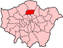 | |
|---|---|---|
| Attractions |
| |
| Parks and open spaces |
| |
| Constituencies | ||
| Tube and railway stations | ||
| Other topics | ||
| ||