Daintree, Queensland
Daintree is a rural town and locality in the Shire of Douglas, Queensland, Australia.[2][3] In the 2016 census, Daintree had a population of 129 people.[1]
| Daintree Queensland | |||||||||||||||
|---|---|---|---|---|---|---|---|---|---|---|---|---|---|---|---|
 Daintree Village in the Daintree area in far north Queensland | |||||||||||||||
 Daintree | |||||||||||||||
| Coordinates | 16.2494°S 145.3213°E | ||||||||||||||
| Population | 129 (2016 census)[1] | ||||||||||||||
| • Density | 20.48/km2 (53.0/sq mi) | ||||||||||||||
| Postcode(s) | 4873 | ||||||||||||||
| Area | 6.3 km2 (2.4 sq mi) | ||||||||||||||
| Time zone | AEST (UTC) | ||||||||||||||
| Location |
| ||||||||||||||
| LGA(s) | Shire of Douglas | ||||||||||||||
| State electorate(s) | Cook | ||||||||||||||
| Federal Division(s) | Leichhardt | ||||||||||||||
| |||||||||||||||
Geography
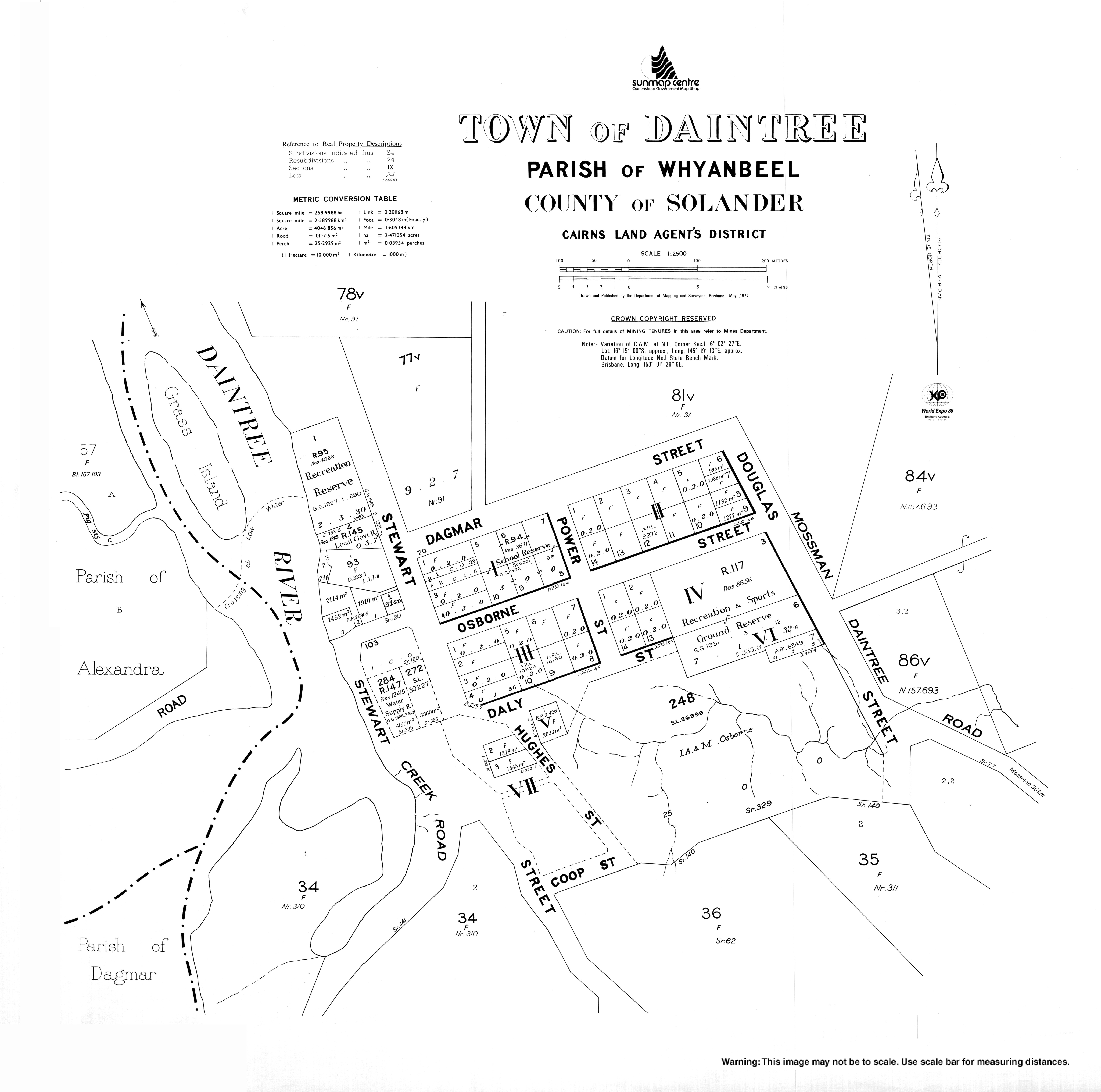
Daintree is a settlement in North Queensland 111 kilometres (69 mi) north of Cairns and 56 kilometres (35 mi) from Port Douglas, Queensland. The McDowell Ranges are near the town while the Daintree River flows nearby. It takes its name from Richard Daintree, a pioneering geologist of British origin in North Queensland in the 1860s. It is within the local government area of Shire of Douglas (between 2008 and 2013, it was within the Cairns Region). At the 2006 census, Daintree and the surrounding area had a population of 78.[4]
History
Kuku Yalanji (also known as Gugu Yalanji, Kuku Yalaja, and Kuku Yelandji) is an Australian Aboriginal language of the Mossman and Daintree areas of North Queensland. The language region includes areas within the local government area of Shire of Douglas and Shire of Cook, particularly the localities of Mossman, Daintree, Bloomfield River, China Camp, Maytown, Palmer, Cape Tribulation and Wujal Wujal.[5]
Yalanji (also known as Kuku Yalanji, Kuku Yalaja, Kuku Yelandji, and Gugu Yalanji) is an Australian Aboriginal language of Far North Queensland. The traditional language region is Mossman River in the south to the Annan River in the north, bordered by the Pacific Ocean in the east and extending inland to west of Mount Mulgrave. This includes the local government boundaries of the Shire of Douglas, the Shire of Cook and the Aboriginal Shire of Wujal Wujal and the towns and localities of Cooktown, Mossman, Daintree, Cape Tribulation and Wujal Wujal. It includes the head of the Palmer River, the Bloomfield River, China Camp, Maytown, and Palmerville.[6]
The town takes its name from the Daintree River, which was named on 6 December 1873 by explorer George Elphinstone Dalrymple after geologist and photographer Richard Daintree (1832-1878) geologist and photographer[2]
Daintree Village was first settled in the late 1870s and early 1880s by timber workers seeking Toona Australis commonly (if incorrectly) known as Red Cedar in the nearby Daintree Rainforest. There were sizeable stocks of "Red Cedar" near the Daintree River. Loggers moved stock down the river to the coast for transport using lashed rafts.
Dairy farms were later established allowing a butter factory to be opened in 1924. Beef farming later became a significant local employer.
As elsewhere in Queensland, tourism has become an important employer. Daintree Village became famous for early morning tours on the Daintree River and became very popular with visiting birdwatchers. These dawn river trips became a catalyst for the many B&B's that sprung up starting in 1993 and became an important employer of local families. Red Mill House, Daintree Village was the first B&B in the Douglas Shire in 1993 and paved the way for many others to follow.
Queensland's Wet Tropics became world heritage listed in 1986. Daintree is part of the wet tropics and the most famous national park close to the tourism hub of Port Douglas.[7]
Education
Daintree State School is a government primary (Prep-6) school for boys and girls at Osborne Street (16.2493°S 145.3202°E).[8][9] In 2017, the school had an enrolment of 15 students with 2 teachers (1 full-time equivalent) and 5 non-teaching staff (2 full-time equivalent).[10]
References
- Australian Bureau of Statistics (27 June 2017). "Daintree (SSC)". 2016 Census QuickStats. Retrieved 20 October 2018.

- "Daintree - town in Shire of Douglas (entry 9181)". Queensland Place Names. Queensland Government. Retrieved 4 November 2019.
- "Daintree - locality in Shire of Douglas (entry 48597)". Queensland Place Names. Queensland Government. Retrieved 4 November 2019.
- Australian Bureau of Statistics (25 October 2007). "Daintree (Douglas Shire) (State Suburb)". 2006 Census QuickStats. Retrieved 27 January 2008.
-

-
- http://www.wettropics.gov.au/wet-tropics-world-heritage-values
- "State and non-state school details". Queensland Government. 9 July 2018. Archived from the original on 21 November 2018. Retrieved 21 November 2018.
- "Daintree State School". Retrieved 21 November 2018.
- "ACARA School Profile 2017". Archived from the original on 22 November 2018. Retrieved 22 November 2018.