Cittareale
Cittareale is a comune (municipality) in the Province of Rieti in the Italian region Latium. It is located about 100 kilometres (62 mi) northeast of Rome and 35 kilometres (22 mi) northeast of Rieti.
Cittareale | |
|---|---|
| Comune di Cittareale | |
 Coat of arms | |
Location of Cittareale 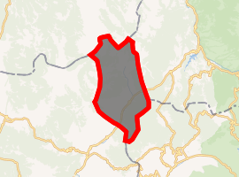
| |
 Cittareale Location of Cittareale in Italy 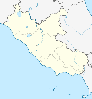 Cittareale Cittareale (Lazio) | |
| Coordinates: 42°37′N 13°10′E | |
| Country | Italy |
| Region | Latium |
| Province | Rieti (RI) |
| Frazioni | Ara dei Colli, Bricca, Cagnerone, Ca Jenco, Cesetta, Collenasso, Collicelle, Conca, Folcara, Le Rose, Marianitto, Matrecciano, Mola Coletta, Pallottini, Santa Croce, Santa Giusta, Sacco, Scanzano, Sorecone, Trimezzo, Vetozza, Vezzano |
| Government | |
| • Mayor | Giuseppe Fedele |
| Area | |
| • Total | 58.8 km2 (22.7 sq mi) |
| Elevation | 952 m (3,123 ft) |
| Population | |
| • Total | 474 |
| • Density | 8.1/km2 (21/sq mi) |
| Demonym(s) | Cittarealesi |
| Time zone | UTC+1 (CET) |
| • Summer (DST) | UTC+2 (CEST) |
| Postal code | 02010 |
| Dialing code | 0746 |
| Website | Official website |
Cittareale borders the following municipalities: Accumoli, Amatrice, Borbona, Cascia, Leonessa, Montereale, Norcia, Posta. The source of the Velino river are in the communal territory.
Cittareal is home to a large Rocca (castle), which had a strategical importance due to its position between the Kingdom of Naples and the Papal States. Its current appearance date to the reconstruction by the Aragonese in 1479. The church of St. Peter in Vetozza was built over a pre-existing temple dedicated to Vacuna, and later was owned by the Abbey of Farfa.
The Roman emperor Vespasian was born nearby.
References
- "Superficie di Comuni Province e Regioni italiane al 9 ottobre 2011". Istat. Retrieved 16 March 2019.
- All demographics and other statistics: Italian statistical institute Istat.
- "Popolazione Residente al 1° Gennaio 2018". Istat. Retrieved 16 March 2019.