Carpaneto Piacentino
Carpaneto Piacentino (Piacentino: Carpané) is a comune (municipality) in the Province of Piacenza in the Italian region of Emilia-Romagna, located about 130 kilometres (81 mi) northwest of Bologna and about 15 kilometres (9 mi) southeast of Piacenza.
Carpaneto Piacentino | |
|---|---|
| Comune di Carpaneto Piacentino | |
 | |
Location of Carpaneto Piacentino 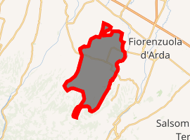
| |
 Carpaneto Piacentino Location of Carpaneto Piacentino in Italy 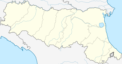 Carpaneto Piacentino Carpaneto Piacentino (Emilia-Romagna) | |
| Coordinates: 44°55′N 9°47′E | |
| Country | Italy |
| Region | Emilia-Romagna |
| Province | Piacenza (PC) |
| Frazioni | Zena, Celleri, Ciriano, Chero, Cimafava, Viustino, Travazzano, Badagnano, Rezzano, Magnano, Montanaro |
| Government | |
| • Mayor | Andrea Arfani |
| Area | |
| • Total | 63.2 km2 (24.4 sq mi) |
| Elevation | 400 m (1,300 ft) |
| Population (31 May 2017)[2] | |
| • Total | 7,740 |
| • Density | 120/km2 (320/sq mi) |
| Demonym(s) | Carpanetesi |
| Time zone | UTC+1 (CET) |
| • Summer (DST) | UTC+2 (CEST) |
| Postal code | 29013 |
| Dialing code | 0523 |
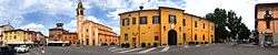
piazza
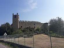
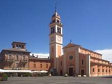
The Castle
Sights include the Badagnano Castle and the Olmeto Castle, both located in the frazione of Badagnano.
Carpaneto Piacentino borders the following municipalities: Cadeo, Castell'Arquato, Fiorenzuola d'Arda, Gropparello, Lugagnano Val d'Arda, Pontenure, San Giorgio Piacentino.
References
- "Superficie di Comuni Province e Regioni italiane al 9 ottobre 2011". Istat. Retrieved 16 March 2019.
- All demographics and other statistics: Italian statistical institute Istat.
External links

This article is issued from Wikipedia. The text is licensed under Creative Commons - Attribution - Sharealike. Additional terms may apply for the media files.