Carlile Junction, Wyoming
Carlile Junction is the populated place in Wyoming where Wyoming Highway 24 (the Bear Lodge Highway) has a terminus at US Route 14.
Carlile Junction, Wyoming | |
|---|---|
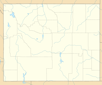 Carlile Junction, Wyoming Location of Carlile Junction in Wyoming | |
| Coordinates: 44.5022058°N 104.6882985°W | |
| Country | United States of America |
| State | Wyoming |
| County | Crook |
| Elevation | 4,203 ft (1,281 m) |
Geography
Located on the northwest edge of the Black Hills in the Bear Lodge Mountains, Carlile Junction lies 6.5 miles (10.5 km) south of Devils Tower National Monument and 15 miles (24 km) north of Keyhole State Park. It is just north of Castle Rocks and south of Miller Creek, a tributary of the Belle Fourche River which lies about 2 miles (3.2 km) to the junction's west.
Wonder View is a populated place about 5 miles (8.0 km) southeast of Carlile Junction on US 14.[2]
See also
Major intersections in the Black Hills are frequently named, whether there are communities at the locations or not:
References
- U.S. Geological Survey Geographic Names Information System: Carlile Junction, Wyoming
- Black Hills National Forest: Motorized Recreation Map (PDF) (Map) (December 2010 ed.). US Forest Service. § T52N-R65W. Retrieved January 14, 2015.
Municipalities and communities of Crook County, Wyoming, United States | ||
|---|---|---|
| Towns | 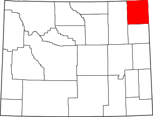 | |
| CDP | ||
| Unincorporated communities | ||
This article is issued from Wikipedia. The text is licensed under Creative Commons - Attribution - Sharealike. Additional terms may apply for the media files.