Blacktail, South Dakota
Blacktail (also known as Black Tail) is a ghost town in Lawrence County, South Dakota, United States. The name was collected by the United States Geological Survey between 1976 and 1980, and entered into the Geographic Names Information System on February 13, 1980.[1]
Blacktail, South Dakota Black Tail | |
|---|---|
Town | |
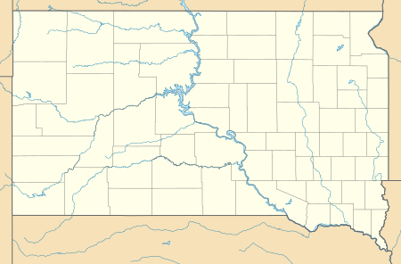 Blacktail Location of Blacktail in South Dakota | |
| Coordinates: 44.3699843°N 103.7601982°W[1] | |
| Country | United States |
| State | South Dakota |
| County | Lawrence |
| Elevation | 4,777 ft (1,456 m) |
| Time zone | UTC-7 (MST) |
| • Summer (DST) | UTC-6 (MDT) |
Blacktail was named for the black-tailed deer spotted by a settler near the town site.[2] Blacktail was an early mining camp in which some of the Homestake Mine's mills operated. While the town flourished for a while, it eventually became a ghost town. It was located between Central City and Gayville, and in the area where Blacktail Gulch and Bobtail Gulch meet.[3] The site has an elevation of 4,777 feet (1,456 m).[1]
See also
References
- "Blacktail". Geographic Names Information System. United States Geological Survey. 1980-02-13. Retrieved 2013-09-18.
- Chicago and North Western Railway Company (1908). A History of the Origin of the Place Names Connected with the Chicago & North Western and Chicago, St. Paul, Minneapolis & Omaha Railways. p. 44.
- Parker, Watson, and Hugh K. Lambert. Black Hills Ghost Towns. First ed. Vol. 1. Chicago, IL: The Swallow Press Incorporated, 1974. 188-91. 1 vols. Print.
Municipalities and communities of Lawrence County, South Dakota, United States | ||
|---|---|---|
| Cities | 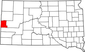 | |
| Township | ||
| CDPs | ||
| Other unincorporated communities | ||
| Ghost towns | ||
This article is issued from Wikipedia. The text is licensed under Creative Commons - Attribution - Sharealike. Additional terms may apply for the media files.