Bagre Norte Fault
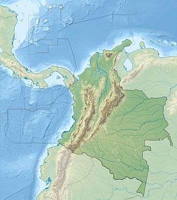
The Bagre Norte Fault (Spanish: Falla de Bagre Norte) is a sinistral oblique strike-slip fault in the departments of Antioquia and Bolívar in northern Colombia. The fault has a total length of 159.3 kilometres (99.0 mi) and runs along an average north to south strike of 359 ± 14 along the Central Ranges of the Colombian Andes and the Serranía de San Lucas.
| Bagre Norte Fault | |
|---|---|
| Falla de Bagre Norte | |
 | |
| Etymology | El Bagre |
| Country | |
| Region | Andean, Caribbean |
| State | Antioquia, Bolívar |
| Characteristics | |
| Range | Central Ranges, Andes & Serranía de San Lucas |
| Part of | Andean oblique faults |
| Length | 159.3 km (99.0 mi) |
| Strike | 359 ± 14 |
| Dip | East |
| Dip angle | High |
| Displacement | <0.2 mm (0.0079 in)/yr |
| Tectonics | |
| Plate | North Andean |
| Status | Inactive |
| Type | Oblique strike-slip fault |
| Movement | Sinistral reverse |
| Age | Quaternary |
| Orogeny | Andean |
Description
The Bagre Norte Fault branches from the Palestina Fault, close to the Alicante River. The fault juxtaposes Precambrian metamorphic rocks on the east against sedimentary rocks in the west. The fault shows as a prominent topographic lineament on satellite images and aerial photographs. Prominent scarp faces west, the fault appears to displace erosion surfaces of the Central Ranges about 200 metres (660 ft). The strong geomorphologic expression suggests Quaternary activity.[1]
See also
References
- Paris et al., 2000, p.29
Bibliography
- Paris, Gabriel; Michael N. Machette; Richard L. Dart, and Kathleen M. Haller. 2000a. Map and Database of Quaternary Faults and Folds in Colombia and its Offshore Regions, 1–66. USGS. Accessed 2017-09-18.
Maps
- Paris, Gabriel; Michael N. Machette; Richard L. Dart, and Kathleen M. Haller. 2000b. Map of Quaternary Faults and Folds of Colombia and Its Offshore Regions, 1. USGS. Accessed 2017-09-18.
Further reading
- Page, W.D. 1986. Seismic geology and seismicity of Northwestern Colombia, 1–200. San Francisco, California, Woodward-Clyde Consultants Report for ISA and Integral Ltda., Medellín.
| Tectonic plates | 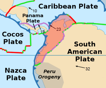 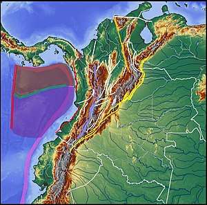  | ||||||||||
|---|---|---|---|---|---|---|---|---|---|---|---|
| Terranes |
| ||||||||||
| Terrane-bounding fault systems |
| ||||||||||
| Intraterrane faults |
| ||||||||||
| Major earthquakes | |||||||||||
| Orogenies |
| ||||||||||
| Other topics | |||||||||||
| Sources |
| ||||||||||